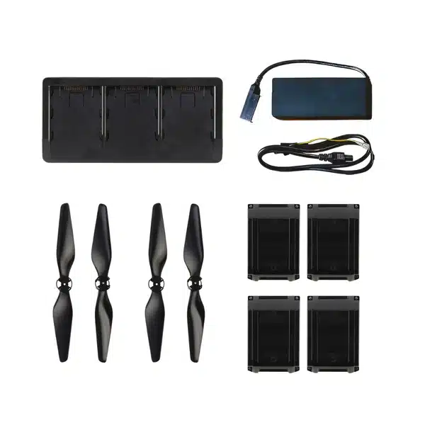
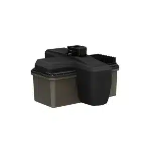
Stay mission-ready with the SOTEN Accessory Bundle. This essential kit includes four additional smart batteries, a multi-charger, and an extra set of propellers to help crews extend flight operations, reduce downtime, and stay productive in the field.
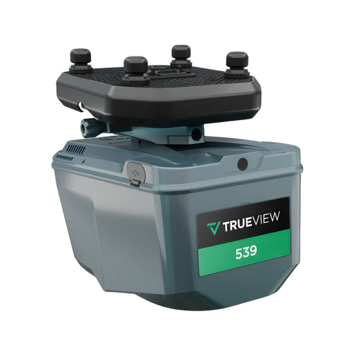
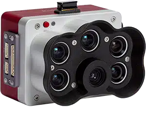
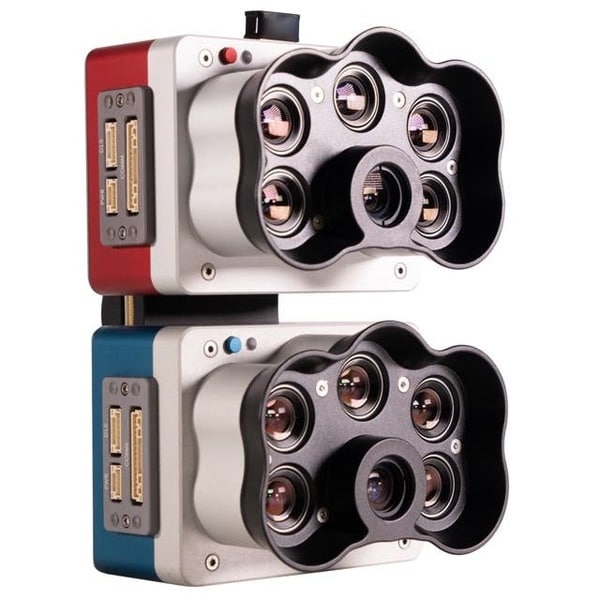
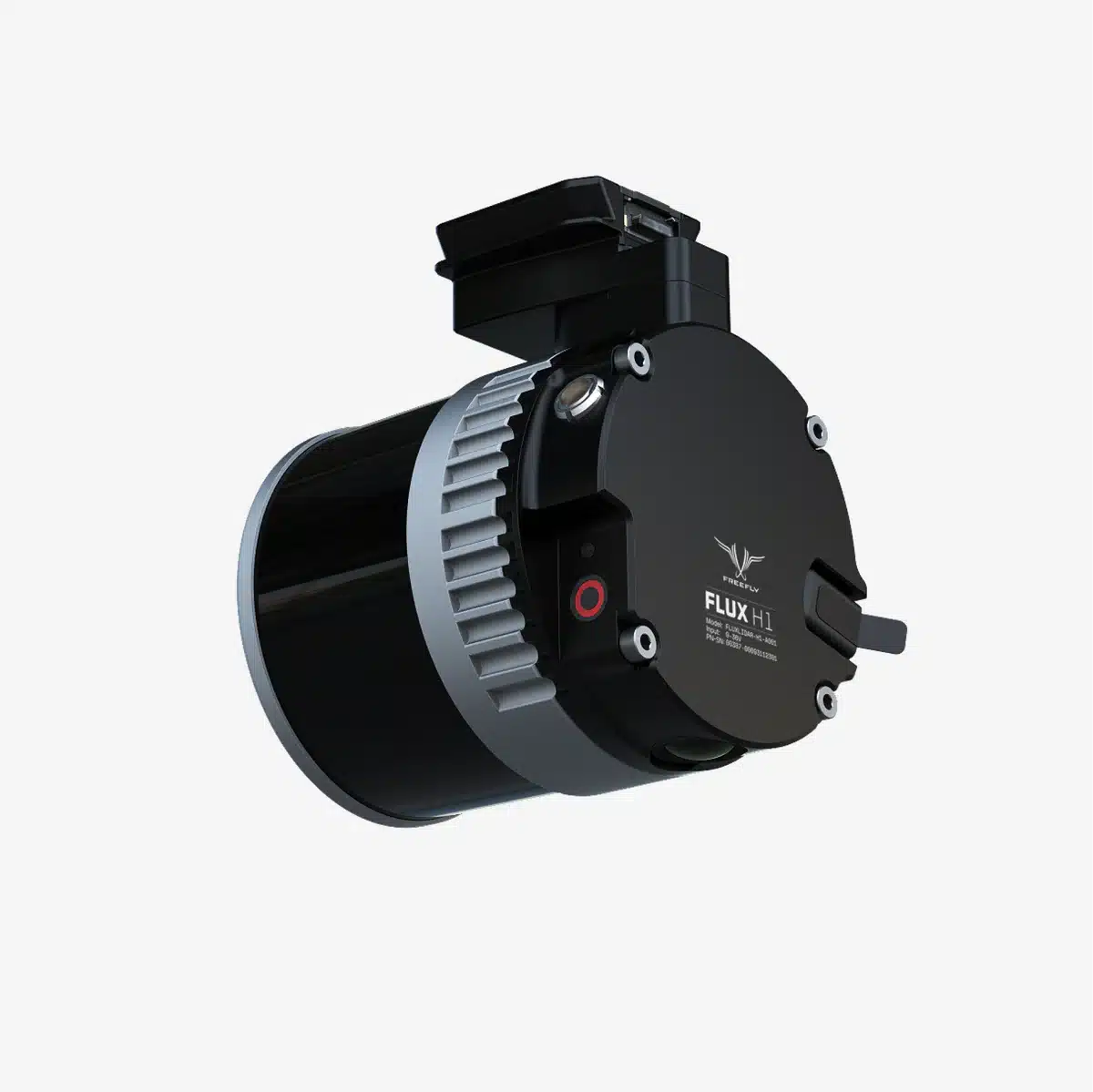
Engineering-grade LiDAR for survey teams using a high-precision laser scanner with a 26 MP full-frame global-shutter camera in a compact, ~1.45 kg payload.
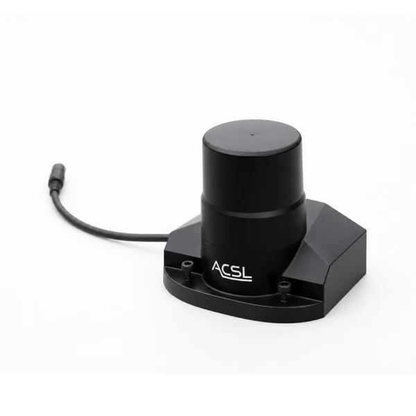
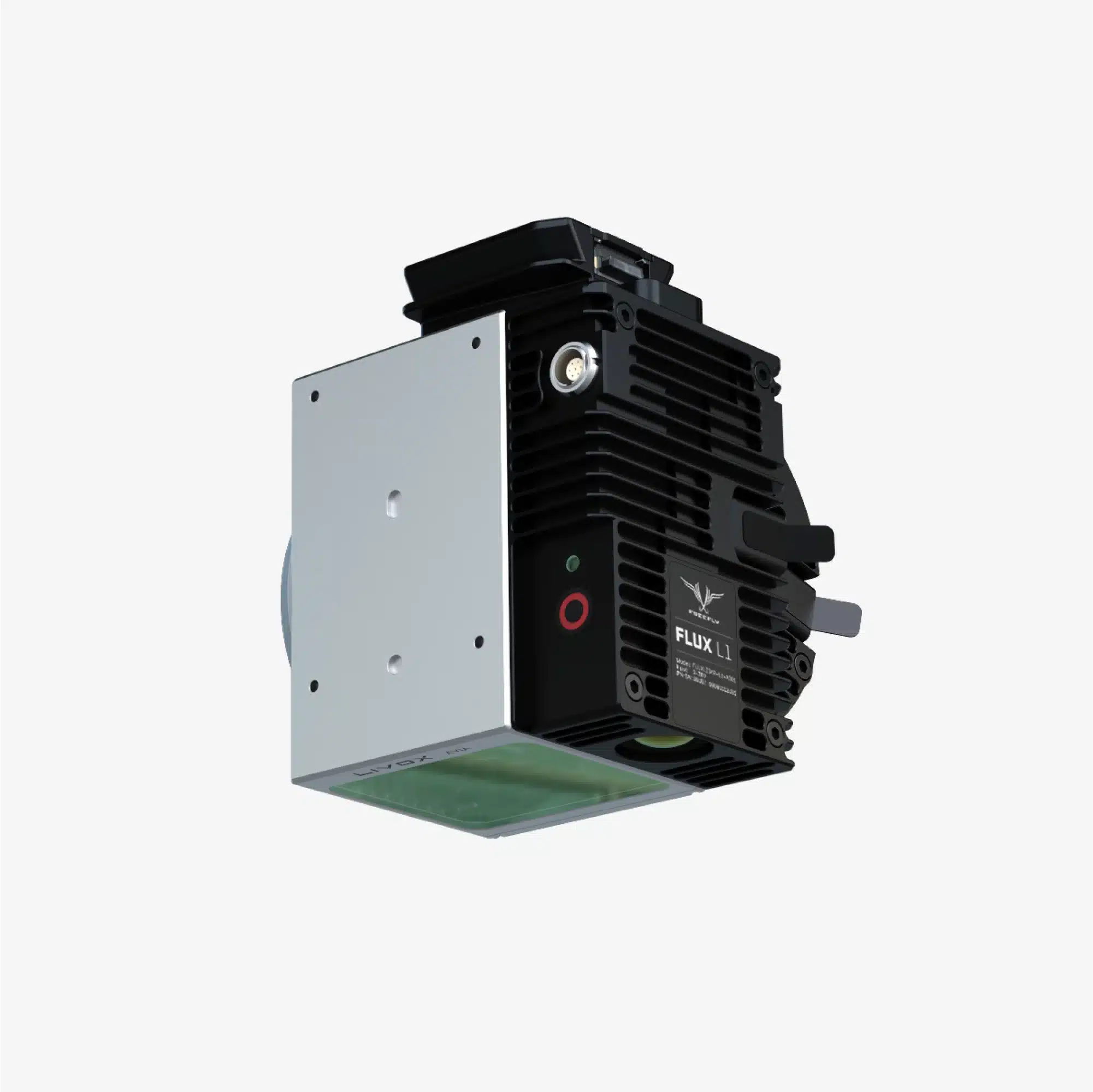
High-accuracy, integrated solution for vegetation penetration and terrain mapping, featuring a Hesai laser scanner, NovAtel GNSS, and IMU for precise 3D point clouds with vertical accuracy down to 3 cm.
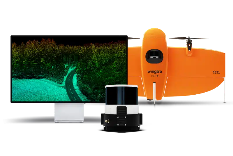
Experience the future of data capture with Seiler GeoDrones. Our advanced UAS platforms, high-accuracy payloads, and integrated software workflows are built to deliver precise, efficient results on every project. From aerial mapping and inspection to seamless processing in tools like Trimble Access and Trimble Business Center, we provide everything you need to turn flight data into actionable insights. Don’t just take our word for it—see it in action. Request a demo today and discover how GeoDrones can elevate your reality capture workflow.