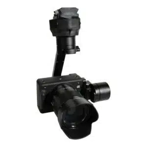
The Sony ILX-LR1 delivers 61MP full-frame resolution making it ideal for mapping, inspections, and industrial ...
The Sony ILX-LR1 delivers 61MP full-frame resolution making it ideal for mapping, inspections, and industrial applications.
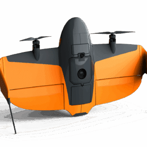
WingtraRAY - your backbone for aerial insights incl. PPK, OS and Apps
Select the terms
Sort By
The Sony ILX-LR1 delivers 61MP full-frame resolution making it ideal for mapping, inspections, and industrial applications.

A high-resolution multispectral imaging system designed for precision agriculture, environmental monitoring, and aerial surveying with the IF800 UAS.

A high-resolution multispectral imaging system, designed for precision agriculture, environmental monitoring, and aerial surveying with the IF800 UAS.
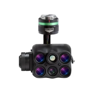
A high-resolution multispectral and thermal imaging system, designed for precision agriculture, environmental monitoring, and infrastructure inspection with the IF800 UAS.
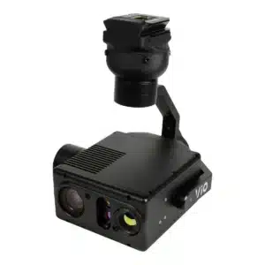
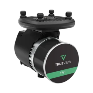
A high-performance gimbal system ensuring smooth and precise data capture with the IF800 UAS.
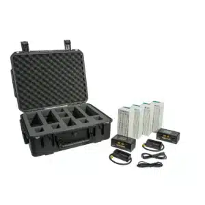
IF800 Tomcat Battery & Charging Kit includes four IB388 intelligent batteries, two smart chargers, and essential accessories in a protective hard case.
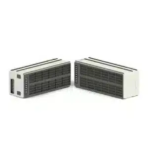
Intelligent Batteries for IF800 providing safe, reliable power for UAV operations.

High-precision multispectral and thermal imaging tool for precision agriculture.
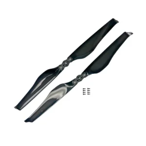
Two replacement propellers for the Inspired Flight IF1200
640,000 points/s Point rate (single return) Hesai XT-32 Dual Return Laser Scanner

Replacement Fin (Landing gear) for WingtraRAY

Replacement Pair of Winglets for WingtraRAY
Experience the future of data capture with Seiler GeoDrones. Our advanced UAS platforms, high-accuracy payloads, and integrated software workflows are built to deliver precise, efficient results on every project. From aerial mapping and inspection to seamless processing in tools like Trimble Access and Trimble Business Center, we provide everything you need to turn flight data into actionable insights. Don’t just take our word for it—see it in action. Request a demo today and discover how GeoDrones can elevate your reality capture workflow.
"*" indicates required fields