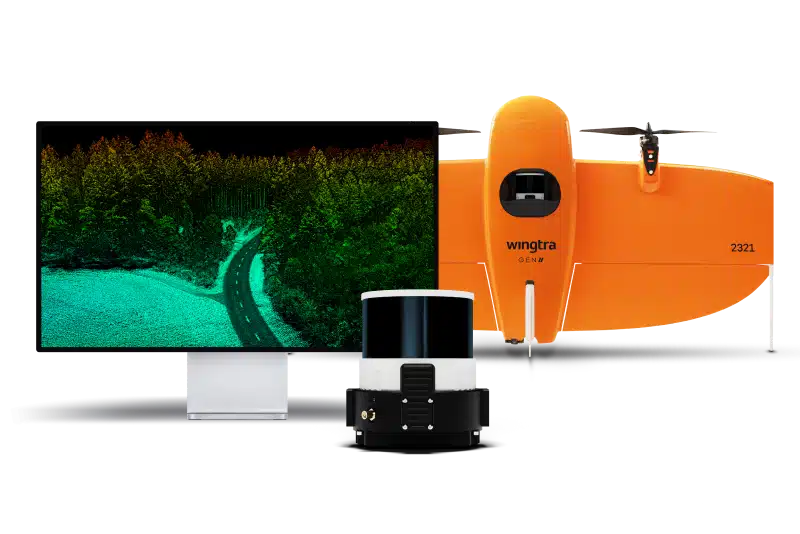
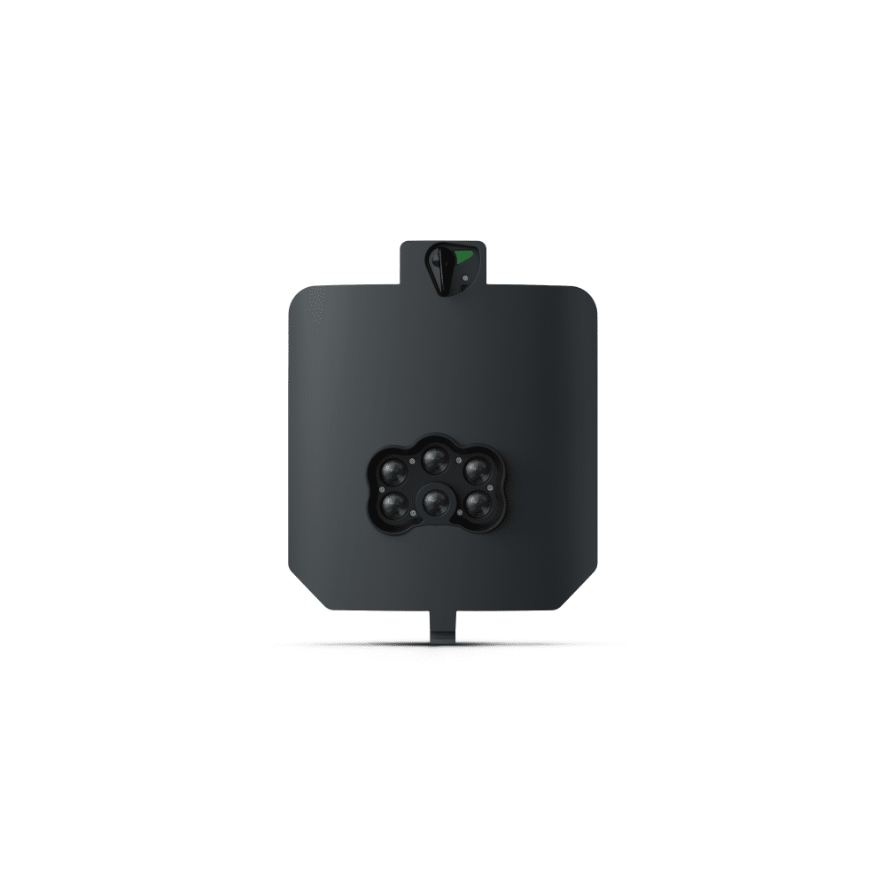
High-accuracy, integrated solution for vegetation penetration and terrain mapping, featuring a Hesai laser ...
Wingtra
High-accuracy, integrated solution for vegetation penetration and terrain mapping, featuring a Hesai laser scanner, NovAtel GNSS, and IMU for precise 3D point clouds with vertical accuracy down to 3 cm.
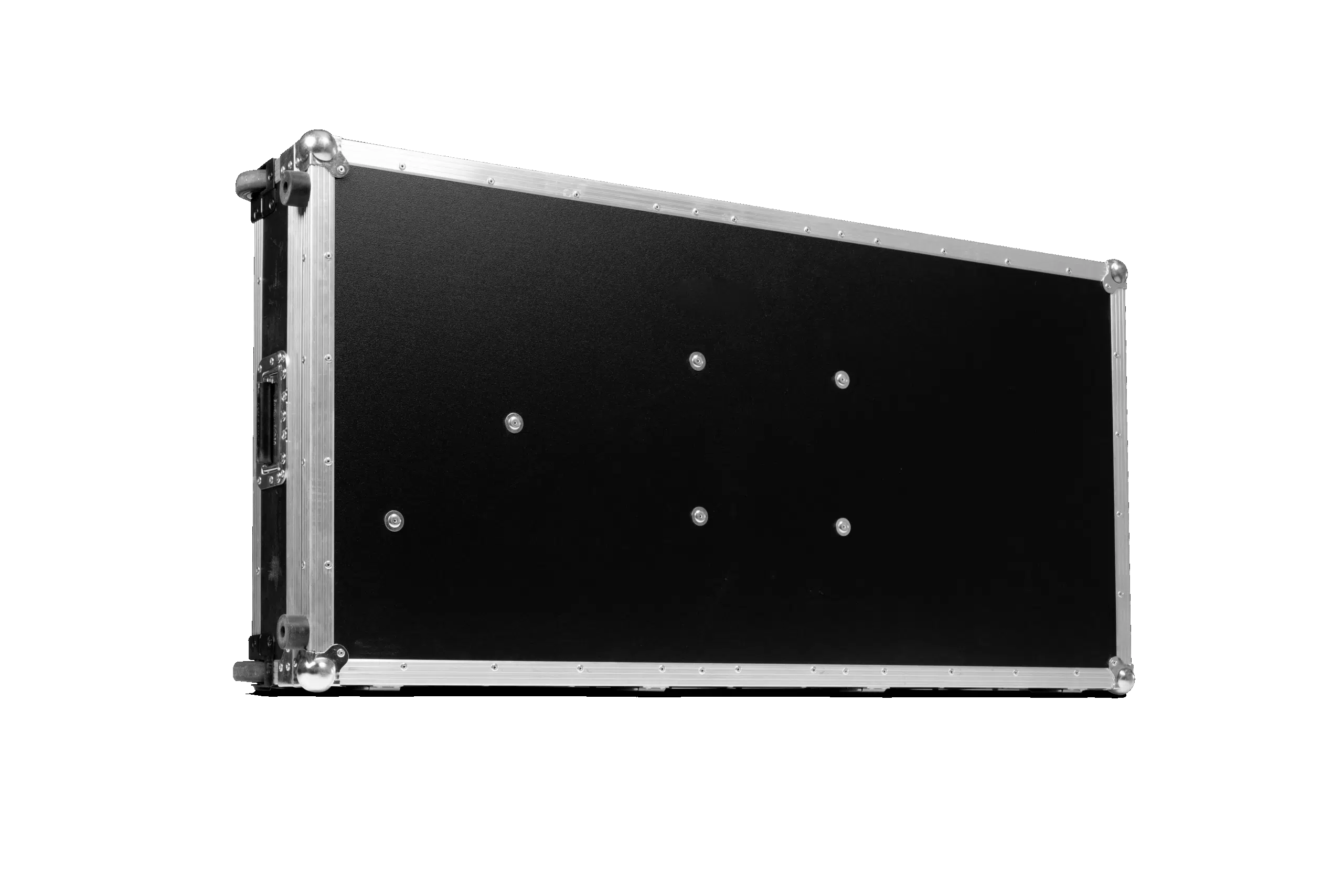
Travel Hard Case for WingtraOne
Wingtra
Travel Hard Case for WingtraOne
Set of flight batteries for WingtraRAY UAV
Wingtra
Set of flight batteries for WingtraRAY UAV
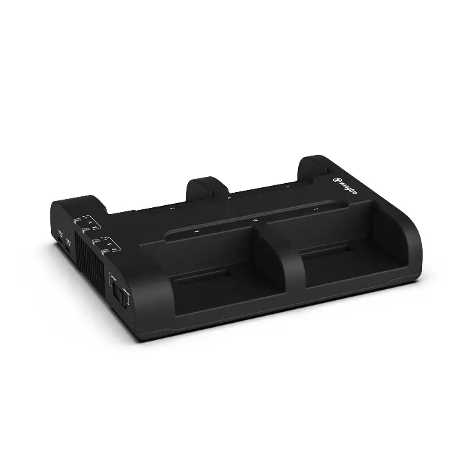
Flight battery charger with dock to simultaneously charge 4 flight batteries (2 sets) and 2 tablets or accessories ...
Wingtra
Flight battery charger with dock to simultaneously charge 4 flight batteries (2 sets) and 2 tablets or accessories (USB-C)
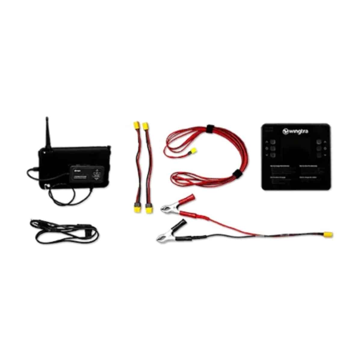
Safety add-on for populated areas
Wingtra
Safety add-on for populated areas
Stay powered up in the field.
Wingtra
Stay powered up in the field.
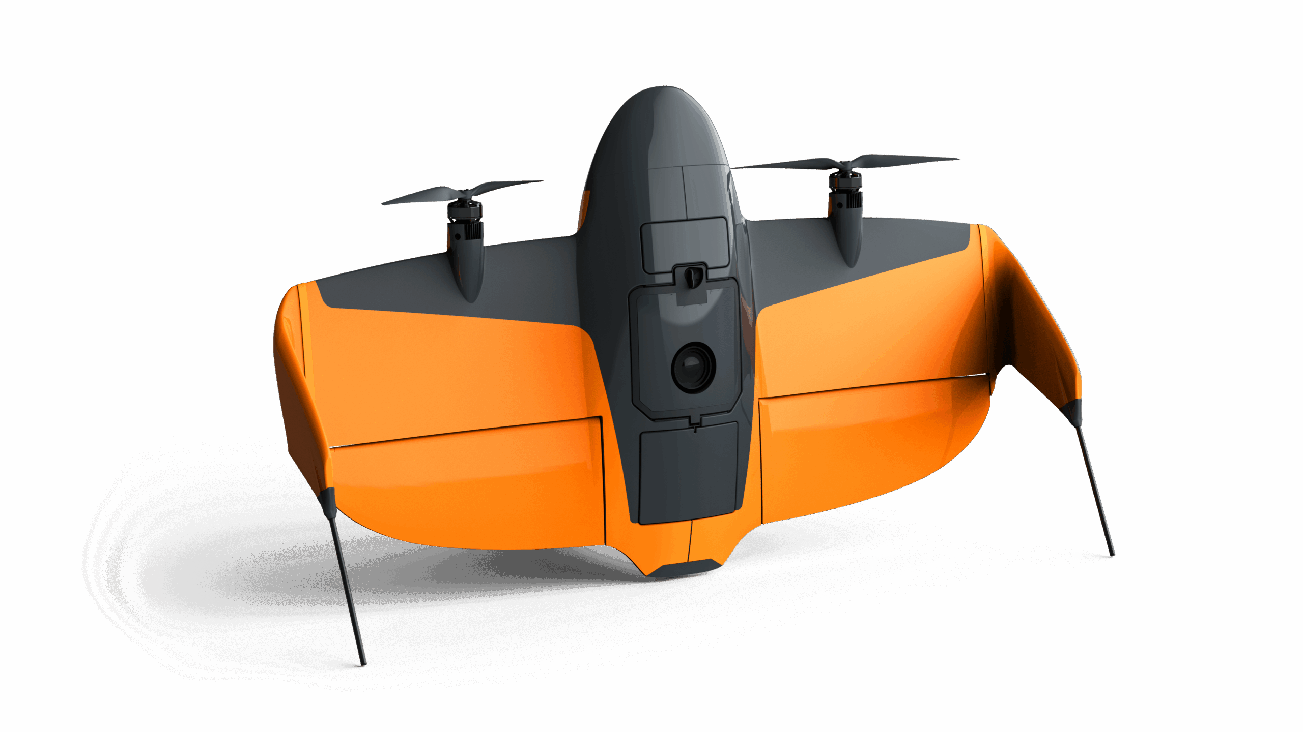
WingtraRAY - your backbone for aerial insights incl. PPK, OS and Apps
Wingtra
WingtraRAY - your backbone for aerial insights incl. PPK, OS and Apps
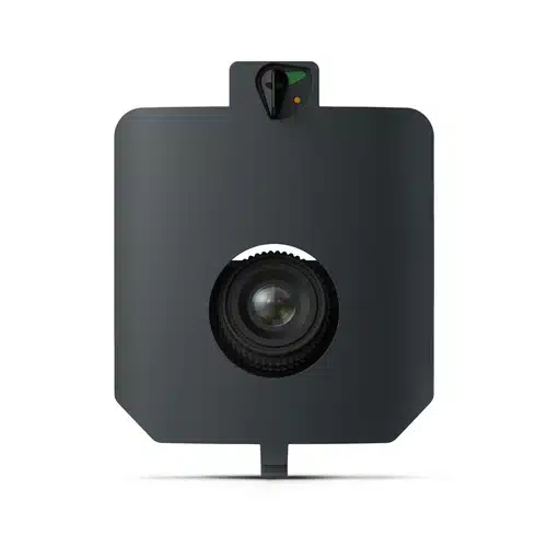
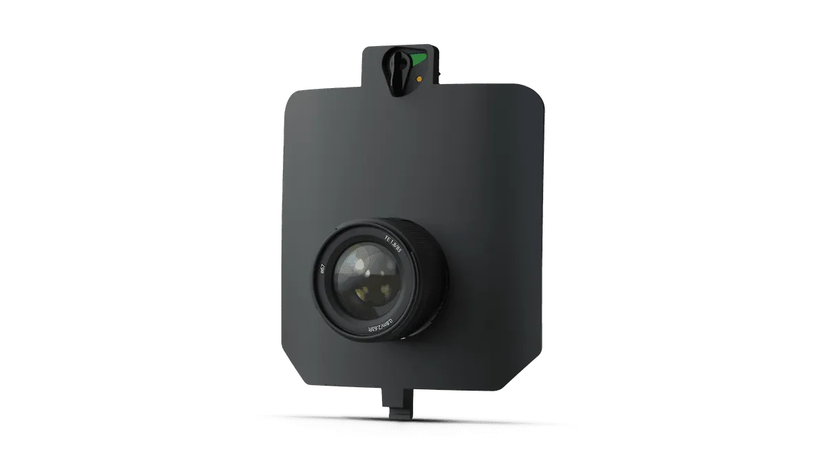
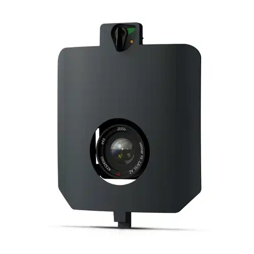
Speciality RGB camera for broad aerial mapping and 3D mapping applications with 61 MP resolution.
- 1x Sensor ...
Wingtra
Speciality RGB camera for broad aerial mapping and 3D mapping applications with 61 MP resolution.
- 1x Sensor "MAP 61" including mount for WingtraRAY
- 1x Storage device
Millimeter-level crack detection at scale
Wingtra
Millimeter-level crack detection at scale
Multispectral camera for a range of applications
Wingtra
Multispectral camera for a range of applications
RGB camera for broad aerial surveying applications with 61 MP resolution.
Wingtra
RGB camera for broad aerial surveying applications with 61 MP resolution.
Replacement Pair of Winglets for WingtraRAY
Wingtra
Replacement Pair of Winglets for WingtraRAY