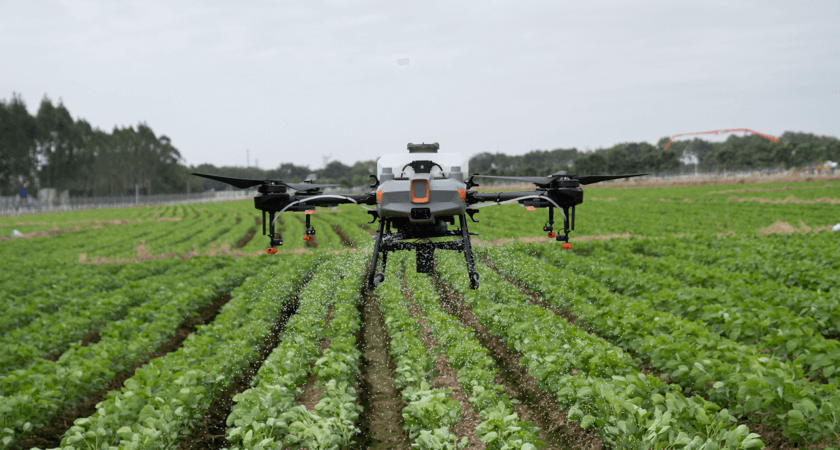
Agriculture


Agriculture and Crop Monitoring
Weed and Pest Control

Irrigation Management

Soil Analysis and Mapping

Plant Scouting and Disease Detection

Yield Estimation and Forecasting

Livestock Monitoring

Field Mapping and Analysis
