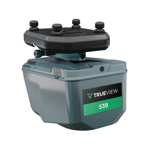
Engineering-grade LiDAR for survey teams using a high-precision laser scanner with a 26 MP full-frame global-shutter camera in a compact, ~1.45 kg payload.
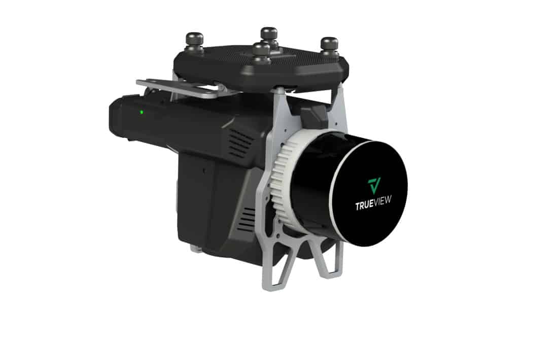
The TrueView 535 is a lightweight, high-accuracy drone LiDAR system featuring the RIEGL miniVUX-2UAV scanner and dual 20 MP cameras. It delivers survey-grade precision, dense point clouds, and high-resolution RGB imaging, making it ideal for applications such as topographic mapping, forestry, and infrastructure assessments.
The TrueView 540 is a compact, high-accuracy drone LiDAR system equipped with the RIEGL miniVUX-3UAV scanner and dual 20 MP cameras. It delivers precise point clouds and high-resolution photogrammetry, making it ideal for applications such as surveying, construction, and environmental monitoring.
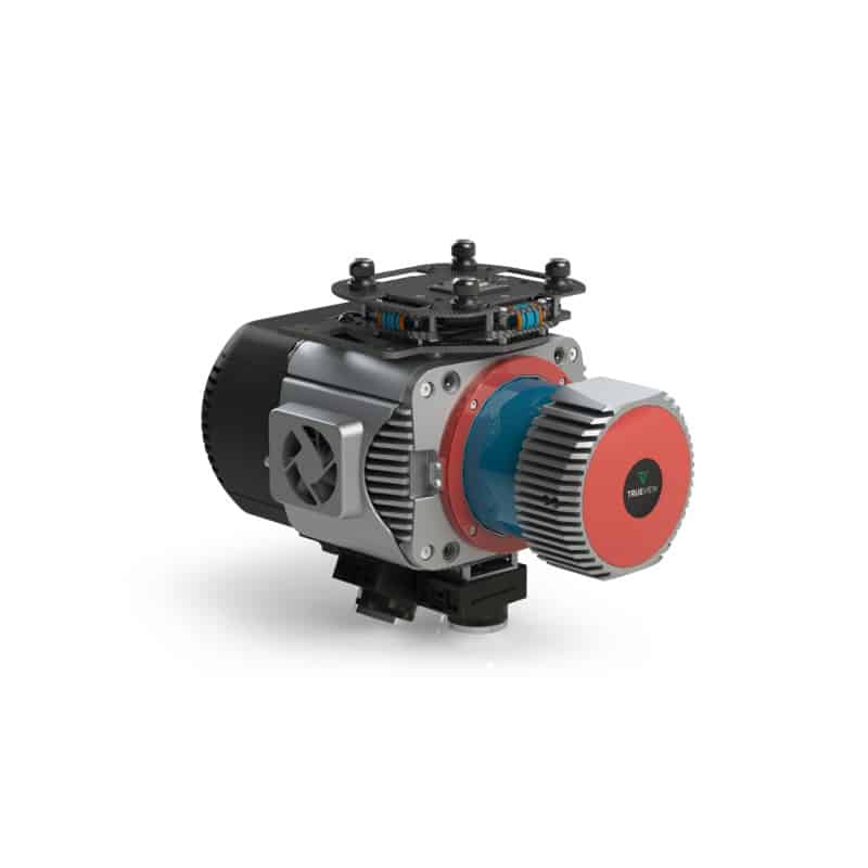
The TrueView 680 is a high-performance drone LiDAR and photogrammetry system featuring the RIEGL VUX-1UAV scanner and dual 20 MP cameras. Designed for large-scale surveying and high-precision mapping, it delivers superior accuracy, dense point clouds, and detailed RGB imagery for applications such as powerline mapping, forestry, and infrastructure assessment.
The TrueView 680 is a high-performance drone LiDAR and photogrammetry system featuring the RIEGL VUX-1UAV scanner and dual 20 MP cameras. Designed for large-scale surveying and high-precision mapping, it delivers superior accuracy, dense point clouds, and detailed RGB imagery for applications such as powerline mapping, forestry, and infrastructure assessment.
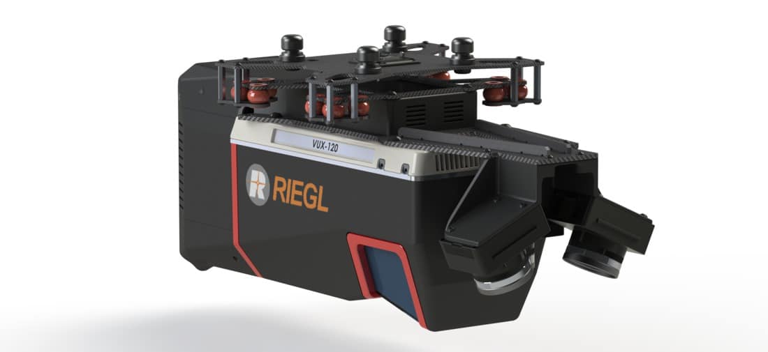
The TrueView 720 is a high-precision drone LiDAR system featuring the RIEGL VUX-120 scanner and three 26 MP cameras. It delivers survey-grade accuracy, high-density point clouds, and detailed photogrammetry for applications such as forestry, powerline mapping, and urban infrastructure projects.