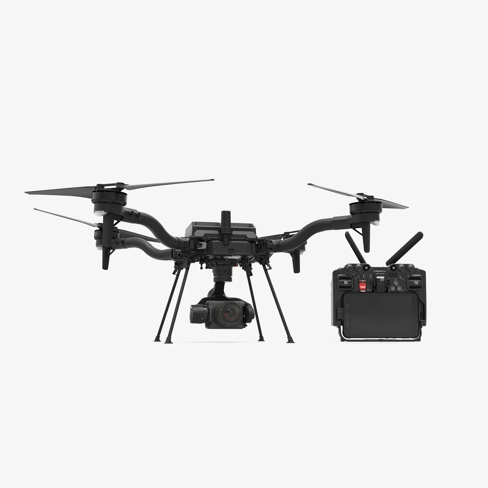
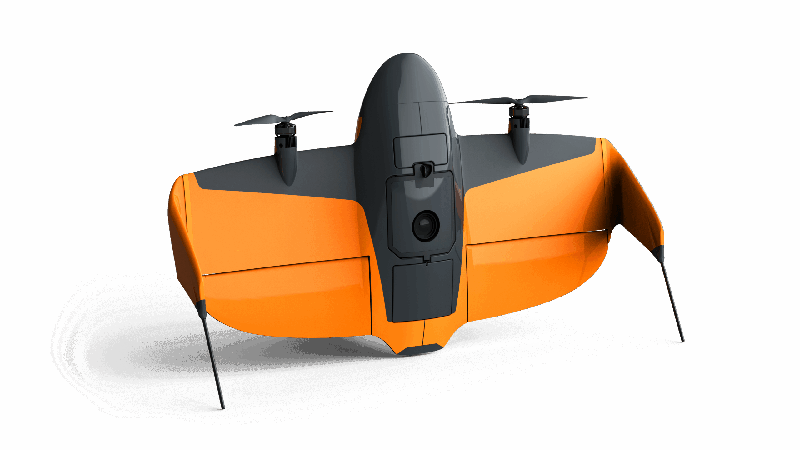
Astro Max is Freefly’s ultimate compact industrial drone platform.
Astro Max is Freefly’s ultimate compact industrial drone platform.
Select the terms
Sort By
Astro Max is Freefly’s ultimate compact industrial drone platform.
Combines the rugged, heavy-lift performance of the Alta X airframe with the cutting-edge flight controller, smart payload interfaces, and seamless workflow integration.
Professional quadcopter with GS1 Ground Control Station combo.
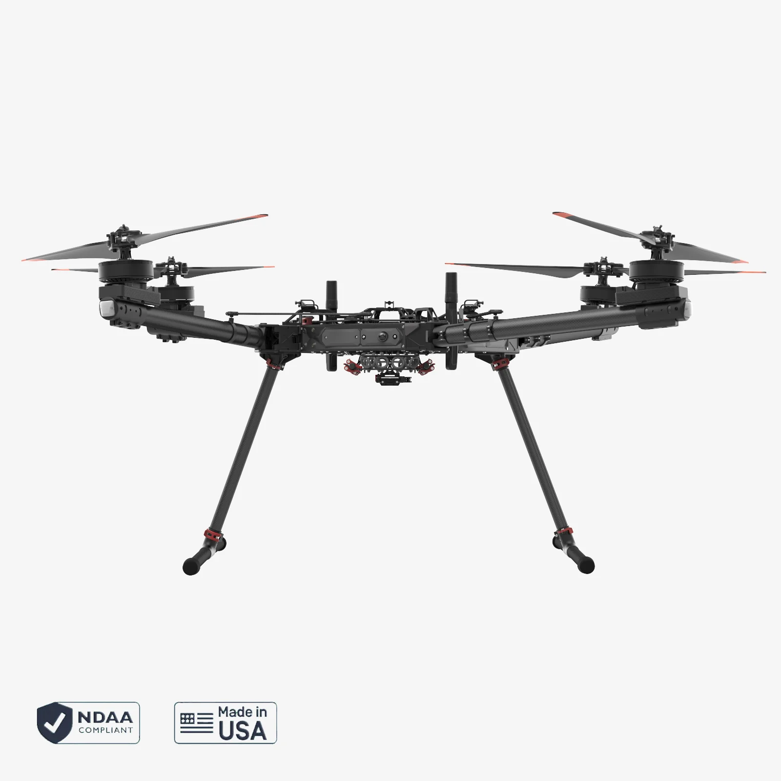
Heavy-lift commercial hexacopter engineered to meet the demands of high-stakes aerial missions.
WingtraRAY - your backbone for aerial insights incl. PPK, OS and Apps
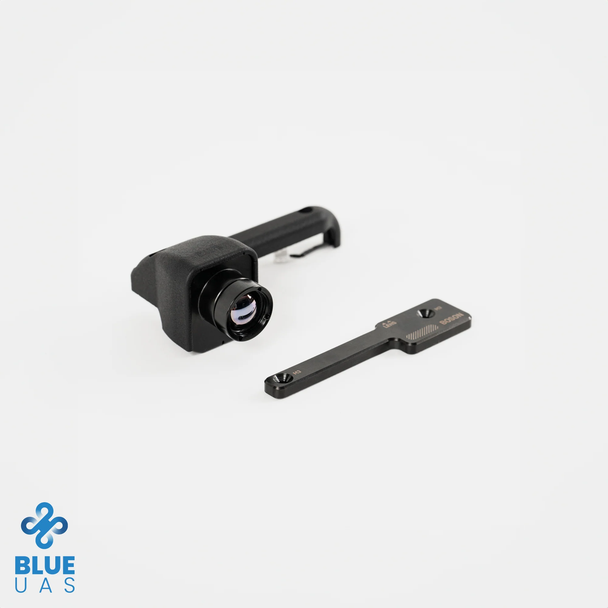
Add-on camera module to add LWIR thermal imaging to your LR1 payload on Astro!
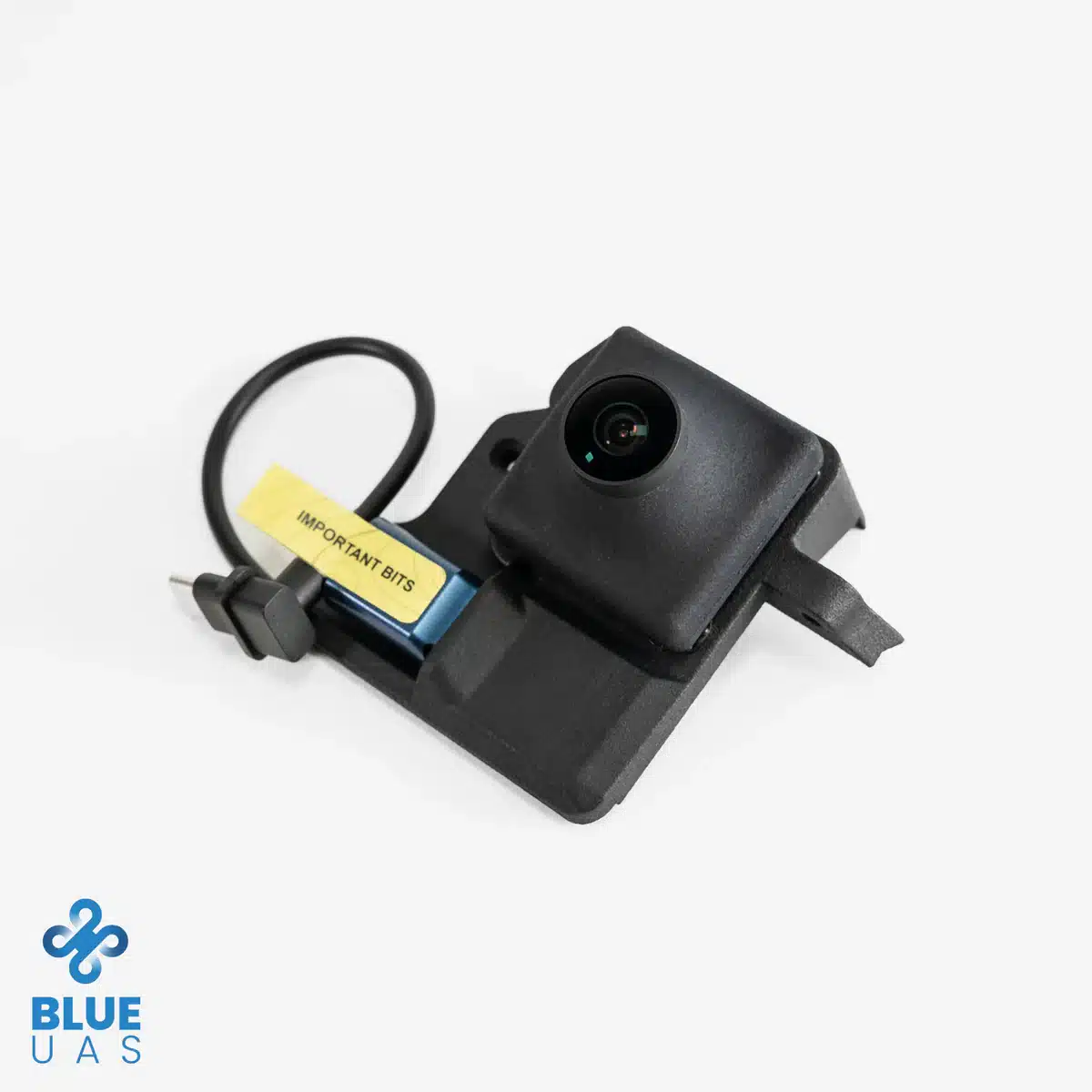
NDAA compliant and DIU approved add-on FPV (First-Person-View) camera and USB port for Astro.
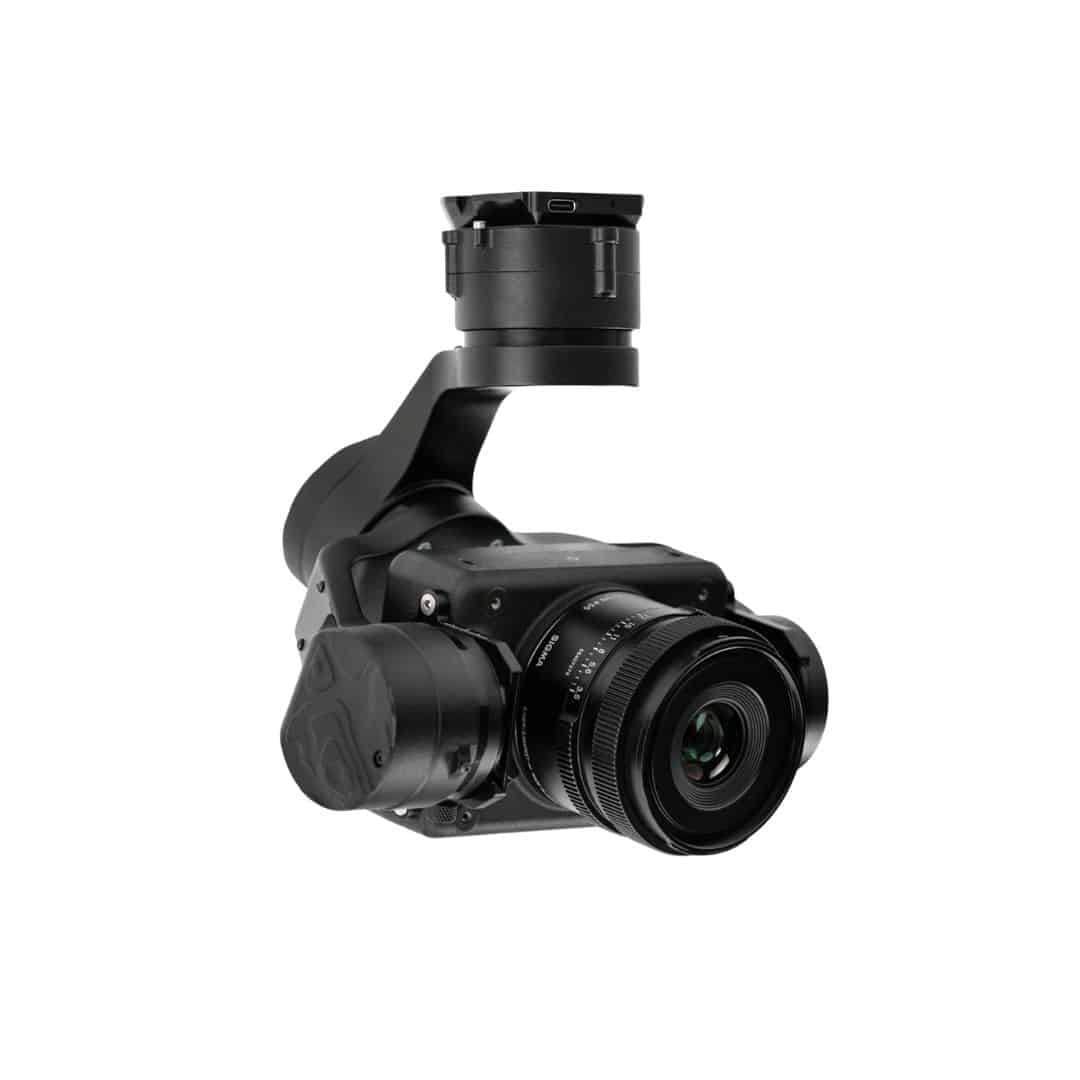
The LR1 Payload is well suited for high-resolution mapping and imaging missions with the Freefly Astro.
Experience the future of data capture with Seiler GeoDrones. Our advanced UAS platforms, high-accuracy payloads, and integrated software workflows are built to deliver precise, efficient results on every project. From aerial mapping and inspection to seamless processing in tools like Trimble Access and Trimble Business Center, we provide everything you need to turn flight data into actionable insights. Don’t just take our word for it—see it in action. Request a demo today and discover how GeoDrones can elevate your reality capture workflow.
"*" indicates required fields