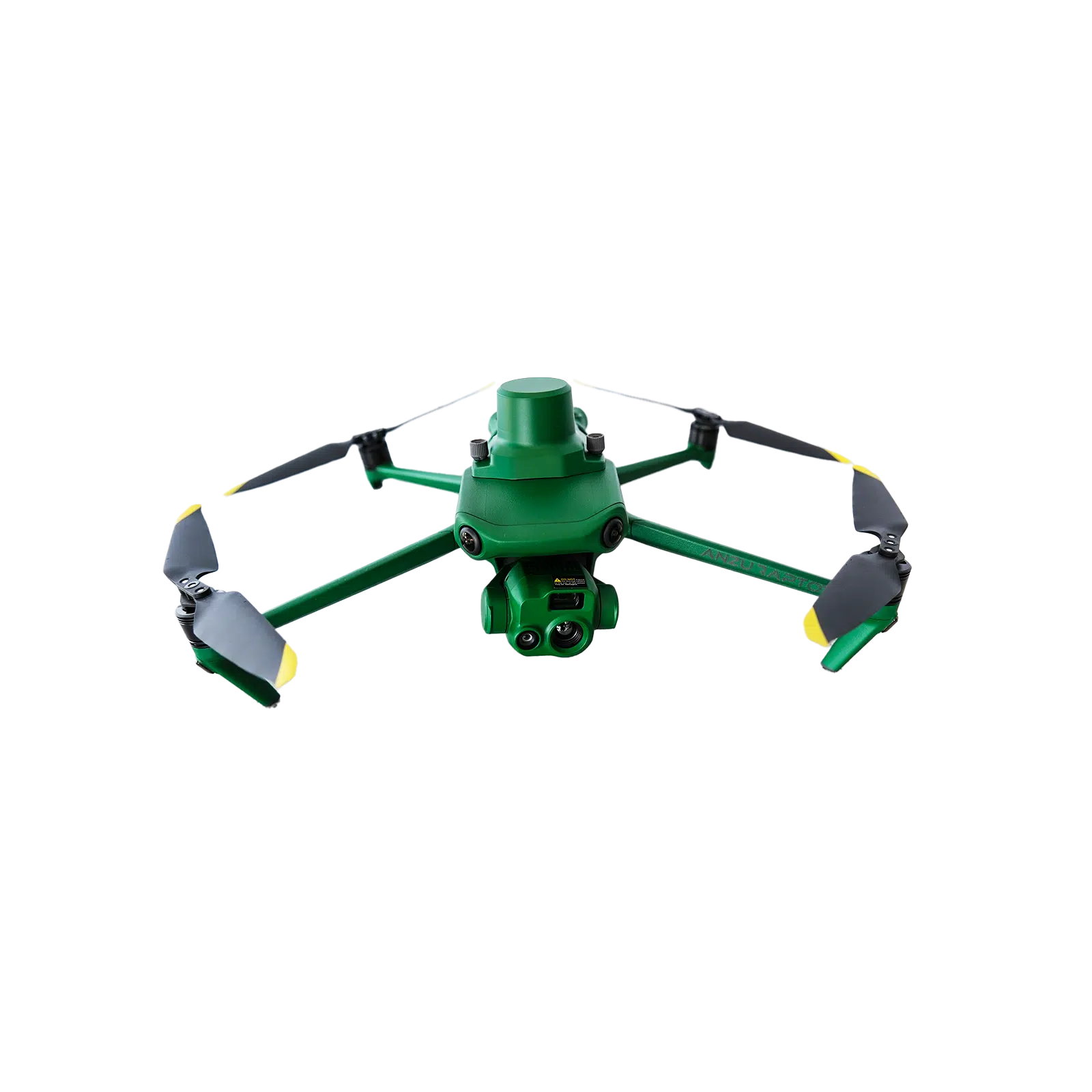
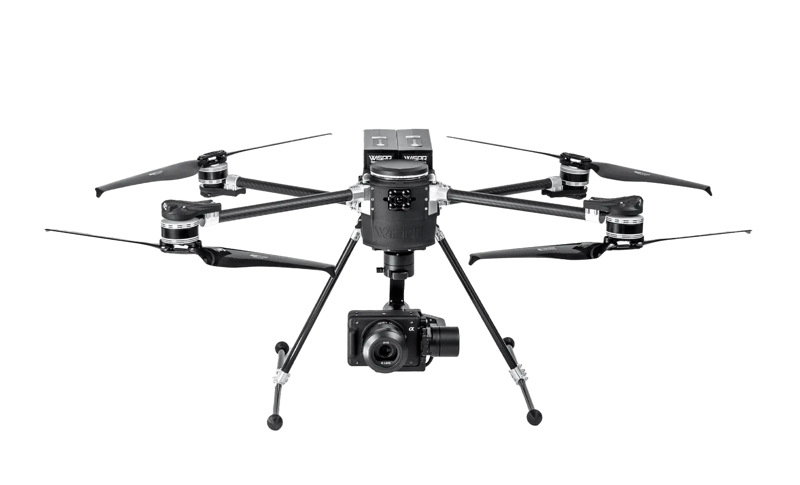
Used Anzu Robotics Raptor T Thermal Drone package for inspection, public safety, mapping, and other professional aerial applications. Includes the Raptor T aircraft, RTK module, loudspeaker, one battery, charging hub, and protective case.
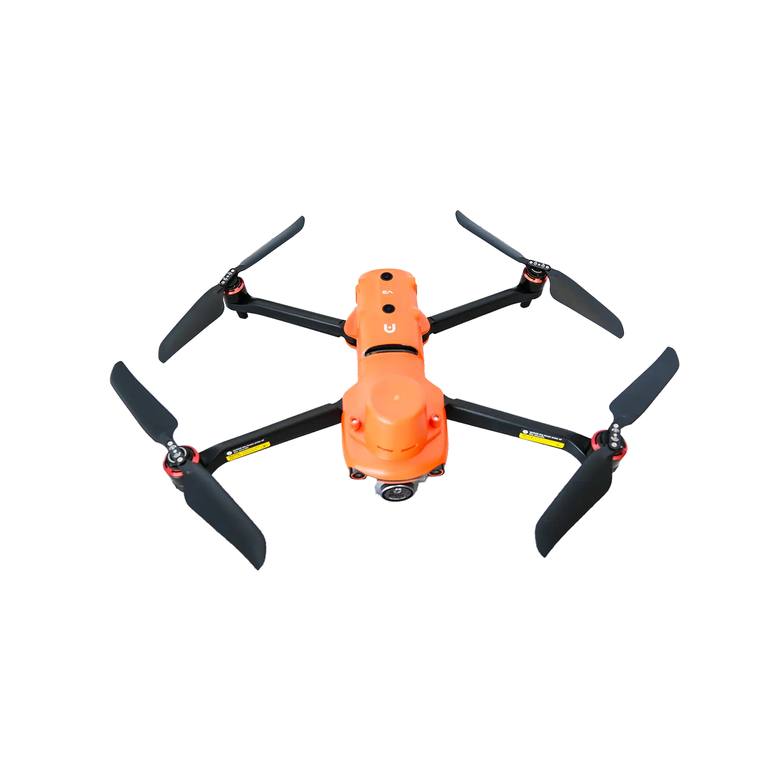
Used Autel EVO II Pro V3 RTK Drone package for aerial mapping, inspection, and geospatial data collection. Includes the EVO II Pro V3 aircraft, RTK module, three batteries, charging hub, and protective case.
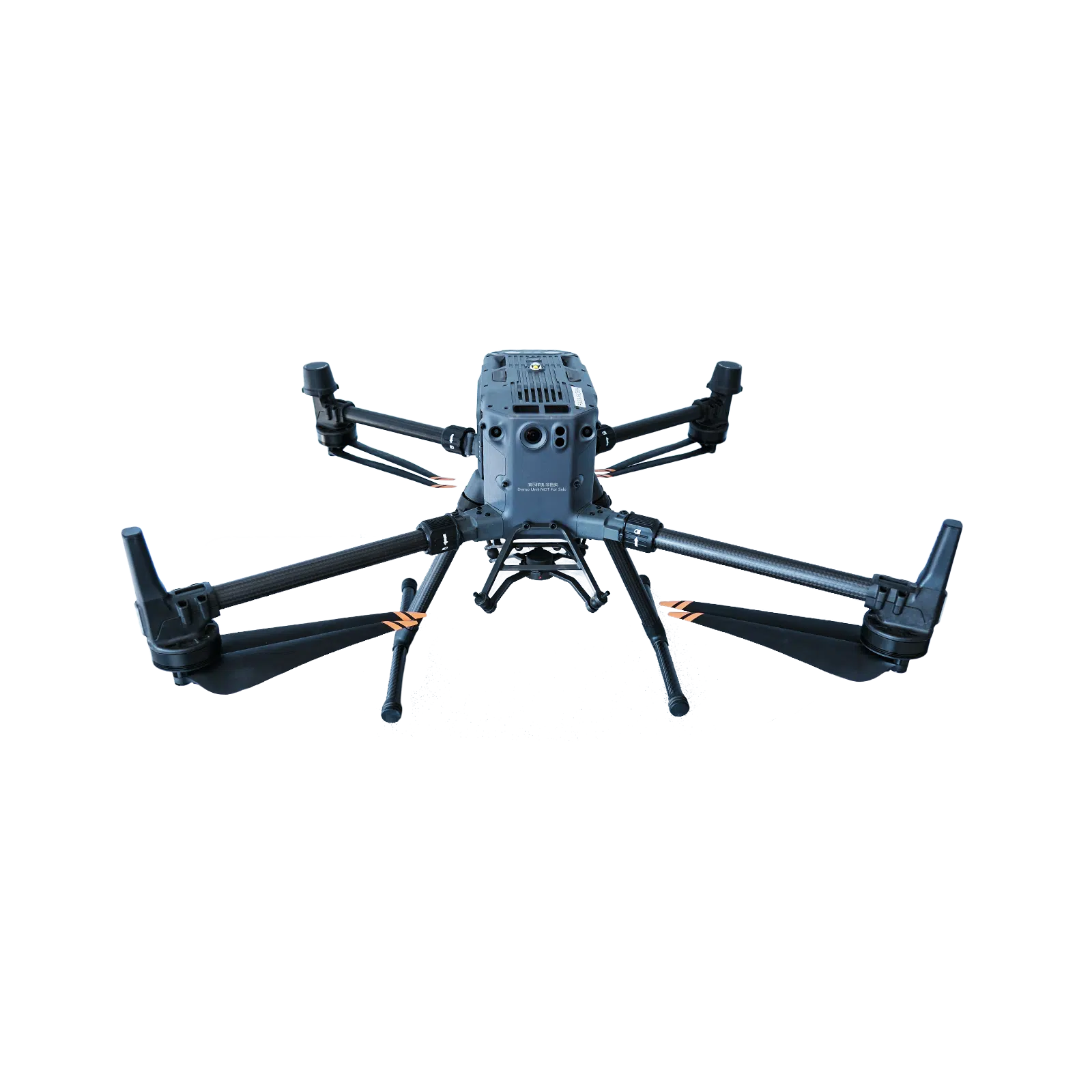
Used DJI Matrice 350 RTK demo combo for professional surveying, mapping, inspection, and other enterprise drone applications. Includes the Matrice 350 RTK aircraft, BS65 Intelligent Battery Station, and four TB65 batteries.
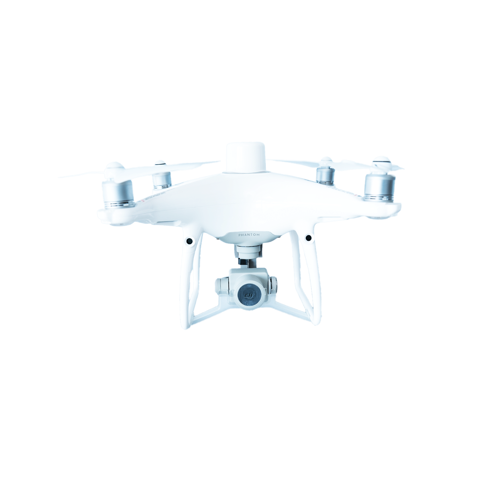
Used DJI Phantom 4 RTK Drone package for surveying, mapping, construction, and professional photogrammetry applications. Includes the Phantom 4 RTK aircraft, two batteries, charging hub, and carrying case.
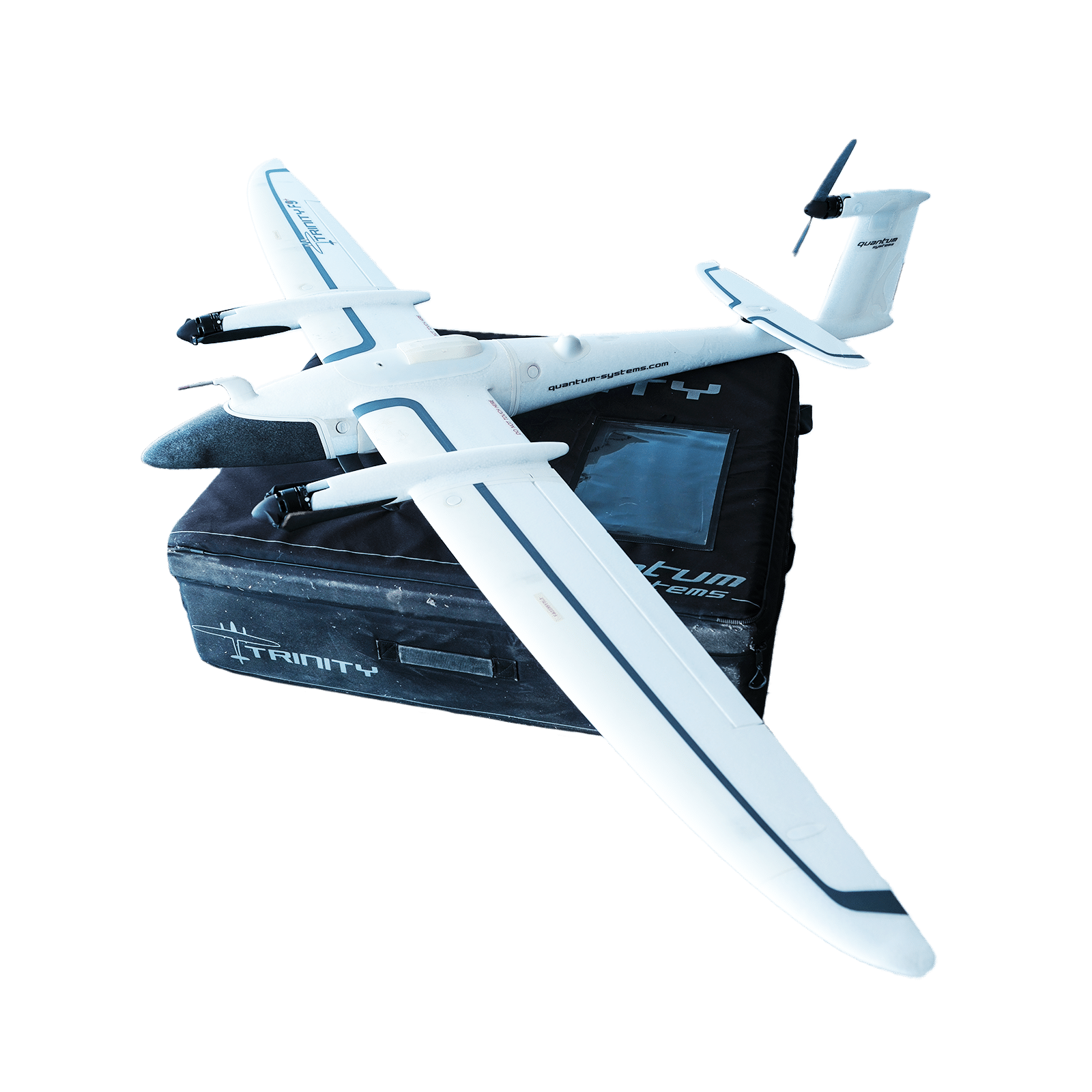
Used Quantum Trinity F90+ VTOL Drone package configured for professional aerial mapping and photogrammetry. Includes the Trinity F90+ aircraft, remote controller, ground station modem, u-blox GNSS base, one battery, charging hub, and Sony RX1R II 42 MP camera payload.
This product is already in your quote request list.Browse the list
No results found. Please check back later.
Request a Demo
Experience the future of data capture with Seiler GeoDrones. Our advanced UAS platforms, high-accuracy payloads, and integrated software workflows are built to deliver precise, efficient results on every project. From aerial mapping and inspection to seamless processing in tools like Trimble Access and Trimble Business Center, we provide everything you need to turn flight data into actionable insights. Don’t just take our word for it—see it in action. Request a demo today and discover how GeoDrones can elevate your reality capture workflow.