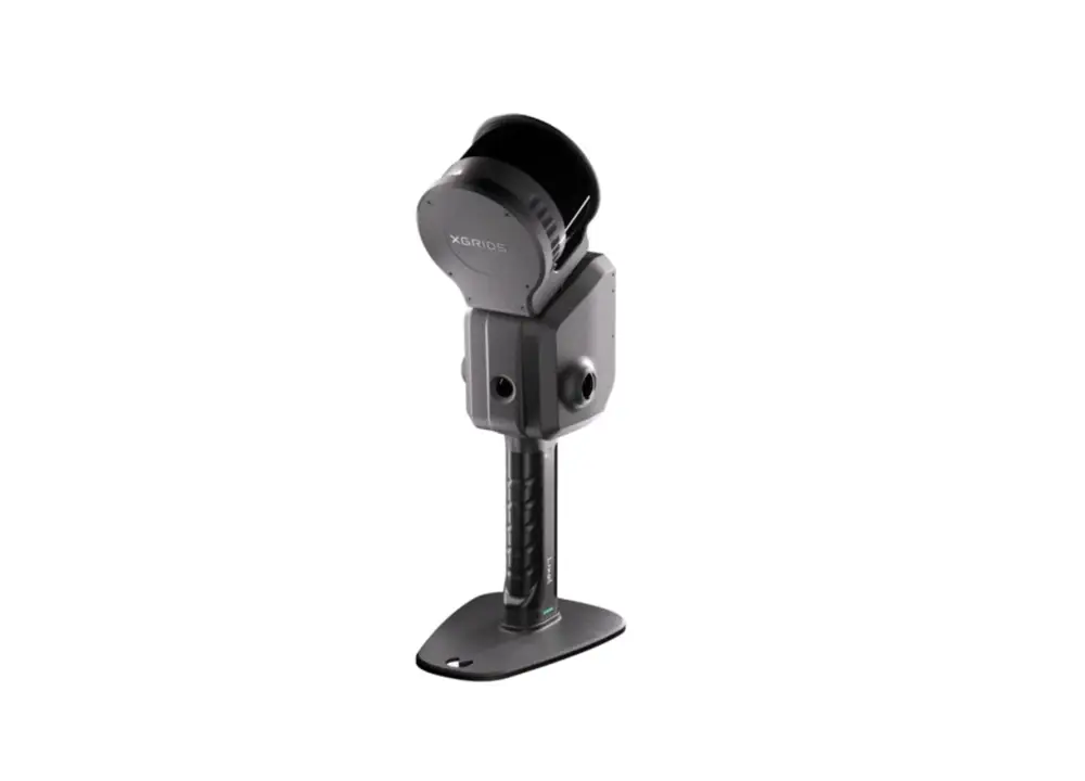
The XGRIDS L2 Pro 16/120 Standard Package, available through Seiler GeoDrones, delivers high-precision LiDAR mapping and surveying capabilities with advanced accuracy and efficiency.
The XGRIDS L2 Pro 32/120 Standard Package, available through Seiler GeoDrones, delivers high-precision LiDAR mapping and surveying with enhanced accuracy and efficiency.
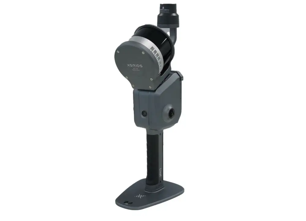
The XGRIDS L2 Pro 32/300 Standard Package, available through Seiler GeoDrones, offers high-precision LiDAR mapping and surveying with an extended 300-degree field of view for superior data capture.
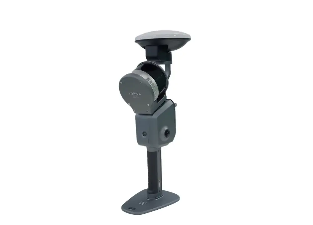
The XGRIDS L2 Pro Standard RTK Kit, available through Seiler GeoDrones, enhances LiDAR mapping and surveying with real-time kinematic (RTK) positioning for superior accuracy and precision.
The XGRIDS L2 Pro Survey Grade RTK Kit, available through Seiler GeoDrones, delivers high-precision RTK positioning for professional-grade LiDAR mapping and surveying applications.
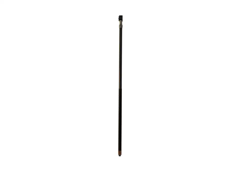
The XGRIDS L2 Pro Extension Pole Kit, available through Seiler GeoDrones, enhances LiDAR scanning capabilities by providing extended mounting options for improved data collection accuracy.
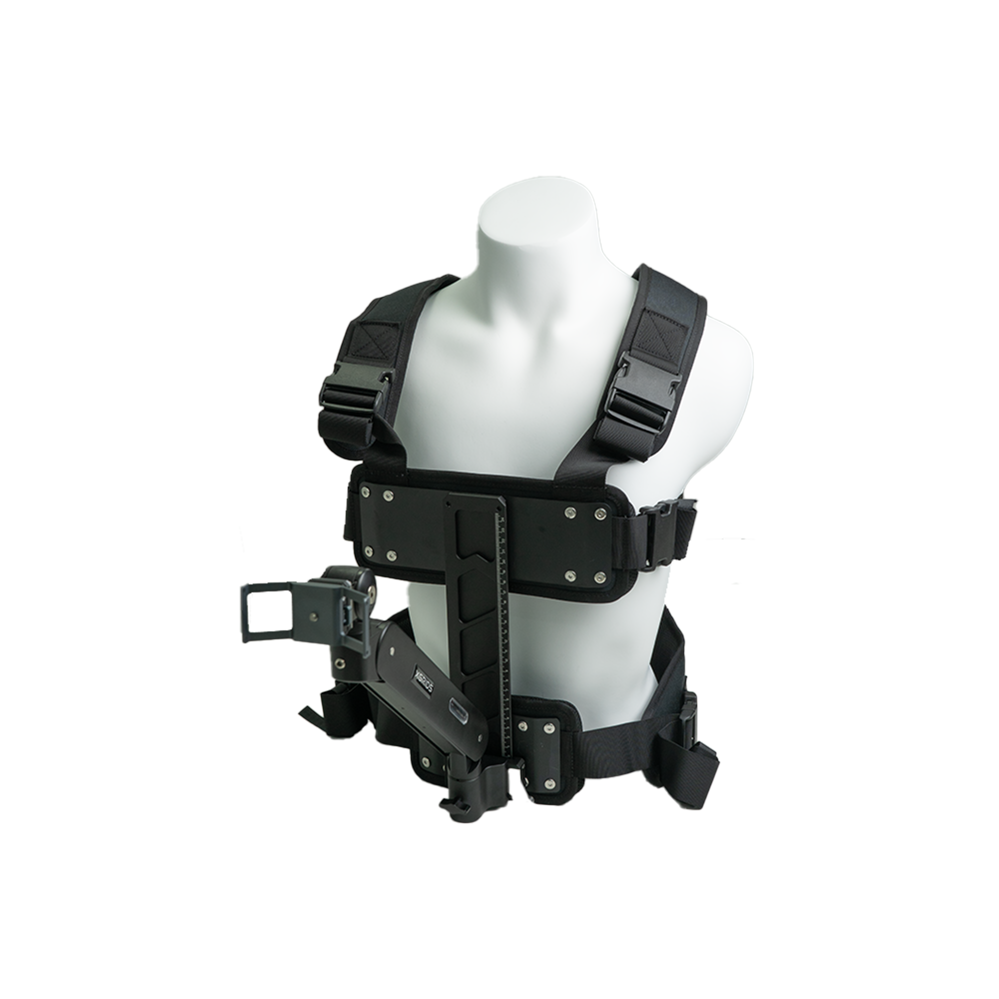
The XGRIDS L2 Pro Harness, available through Seiler GeoDrones, provides a secure and ergonomic solution for carrying and operating XGRIDS LiDAR systems, enhancing mobility and efficiency in the field.
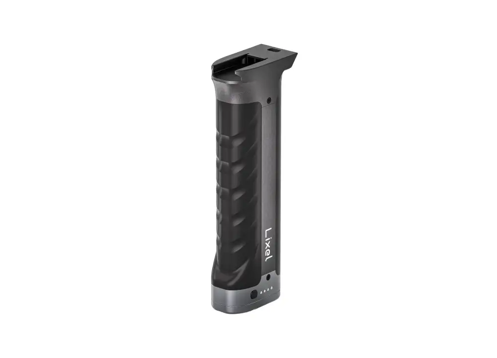
The XGRIDS L2 Series Handle Battery, available through Seiler GeoDrones, provides reliable and extended power for XGRIDS LiDAR systems, ensuring uninterrupted field operation.
The XGRIDS L2 Series Handheld Battery & Charger, available through Seiler GeoDrones, provides a reliable power solution for XGRIDS LiDAR systems, ensuring extended operation and efficient recharging.
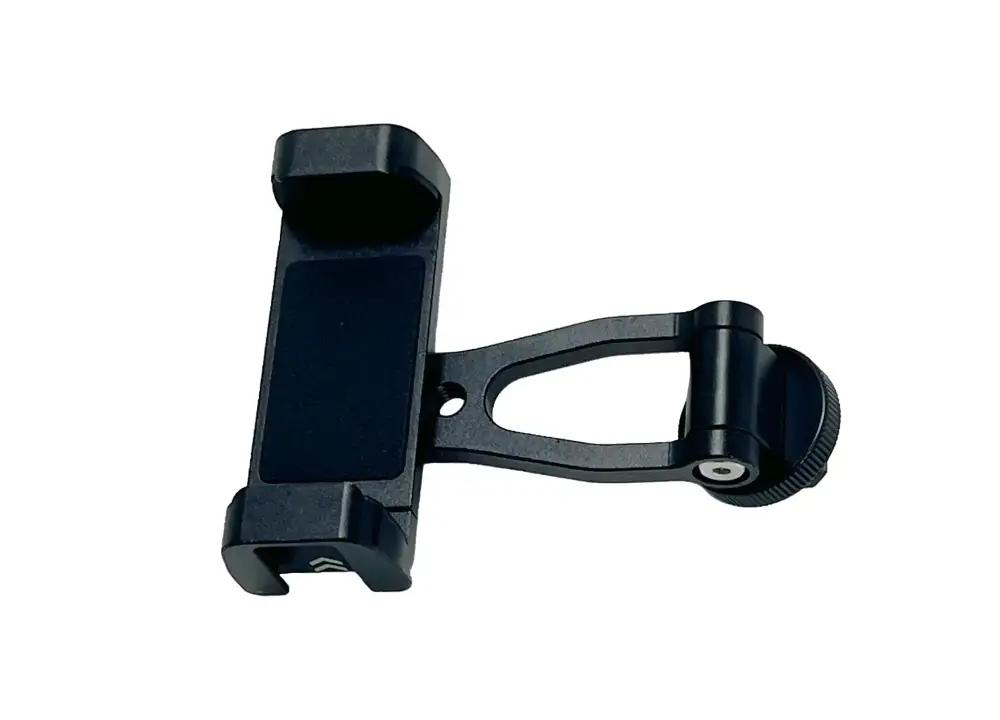
The XGRIDS L2 Series Mobile Phone Mount Module, available through Seiler GeoDrones, provides a secure and convenient solution for mounting a mobile device, enabling real-time data monitoring and control during LiDAR operations.
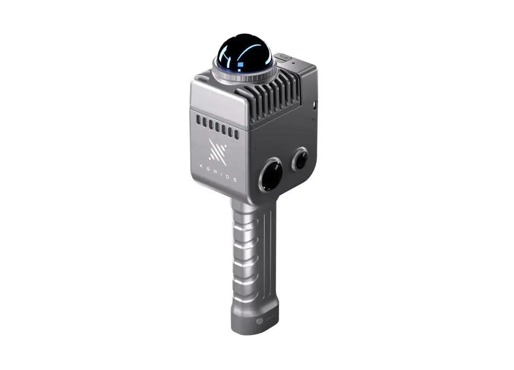
The XGRIDS Lixel K1 Standard Package, available through Seiler GeoDrones, is a high-precision LiDAR and imaging system designed for professional mapping, surveying, and geospatial applications.
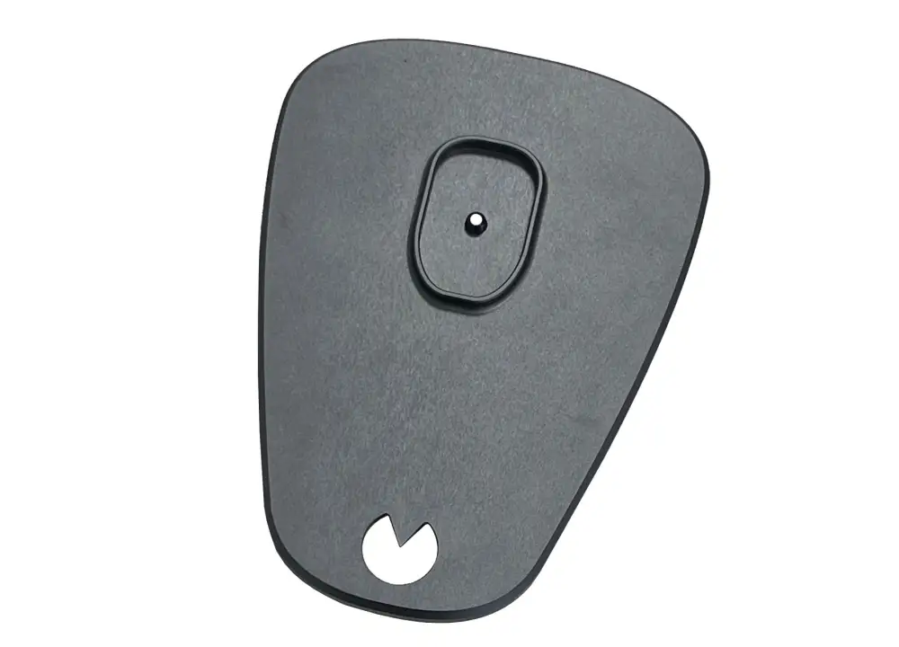
The XGRIDS L2 Series GCP Collection Plate, available through Seiler GeoDrones, enhances ground control point (GCP) accuracy, ensuring precise georeferencing for LiDAR mapping and surveying applications.