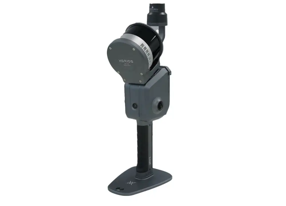
XGRIDS L2 Pro Standard RTK Kit
The XGRIDS L2 Pro Standard RTK Kit, offered by Seiler GeoDrones, is a high-performance LiDAR system upgrade designed to deliver real-time kinematic (RTK) positioning for unmatched survey accuracy. This kit enables precise georeferencing and improved data quality for applications such as topographic surveys, infrastructure mapping, and forestry management. By integrating RTK technology, the L2 Pro Standard RTK Kit ensures highly accurate, real-time corrections, reducing post-processing efforts and optimizing workflow efficiency. Built for seamless drone integration, this system is ideal for professionals demanding high-precision geospatial data collection.