
Precision Solutions Since 1945
Your Trusted Partner
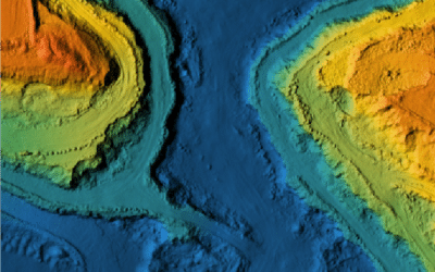
Leading the Midwest in drone technology, delivering workflows and other top-tier solutions that drive efficiency and innovation.
Complete Support & Solutions
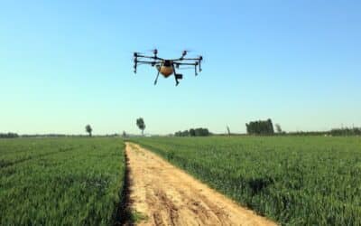
Delivering drones, sensors, LiDAR, training and expert solutions – backed by experiened service and support staff.
Customer-Focused Since Day One
Family-owned and committed to your success with solutions that fit your workflow and ensure satisfaction & project success.
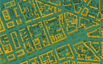
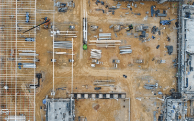
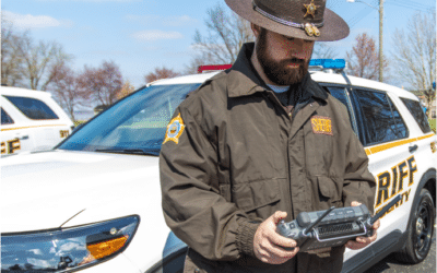
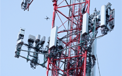
Industries We Serve
No results found. Please check back later.
Personalized Demos
See how drones can be a benefit to your project (or bottom line)
Upcoming Events
Connect, Learn, and Grow with us.
Our Partners


![]()


![]()

![]()
![]()
![]()
![]()
No results found. Please check back later.
Have Questions?
"*" indicates required fields
Quick Links
Subscribe
Get the latest industry insights, product launches, upcoming events, training opportunities, and exclusive promotions delivered right to your inbox.