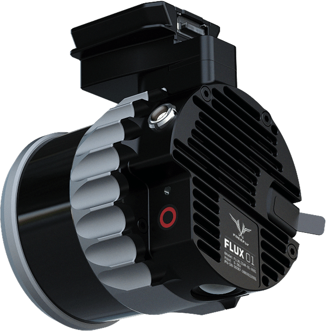
Flux O1
Freefly Flux O1 LiDAR sensor, a compact, high-performance mapping tool for drones, featuring Ouster OS1 technology, NDAA compliance, and dual GNSS for precision PPK, used for critical infrastructure inspection and surveying where detail and trust are paramount. It delivers dense, accurate 3D point clouds, enabling detailed terrain and asset mapping with long range and fast processing.
Key Features & Capabilities
- Sensor: Uses Ouster OS1 technology for high-density data (up to 5.2M pts/sec).
- Performance: Offers ±3 cm accuracy and ±0.5 cm precision, dual returns, and a ~200m range.
- Compliance: NDAA and Blue UAS approved, making it suitable for sensitive projects.
- Integration: Includes a low-noise IMU and dual U-blox GNSS for PPK (Post-Processing Kinematic) correction.
- Workflow: Designed for field efficiency with fast data offload (USB-C) and LAS/LAZ export.
- Applications: Ideal for power line inspection, vegetation mapping, and detailed infrastructure surveys.