The FAA has launched its online course and exam to meet the requirements of Part 107 remote pilot with an sUAS rating (14 CFR part 107). Remote pilots holding a Part 107 certificate must complete recurrency training requirements every 24 months. This is to both...
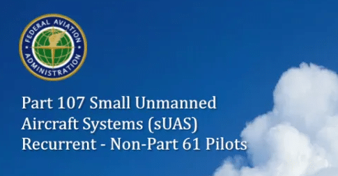
FAA Part 107 Small UAS Recurrent Non-Part 61 Pilot online exam is live
read more