XGRIDS L2 Pro 16/120 Standard Package
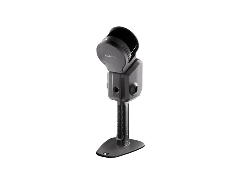
The XGRIDS L2 Pro 16/120 Standard Package, offered by Seiler GeoDrones, is a high-performance LiDAR system designed for detailed mapping, surveying, and geospatial data collection. With 16 channels and a 120-degree field of view, this system provides accurate and efficient point cloud generation for a wide range of applications, including infrastructure planning, forestry, and topographic surveys. Built for precision and reliability, the L2 Pro 16/120 ensures seamless integration with drone platforms, enhancing workflow efficiency and data accuracy for professional users.