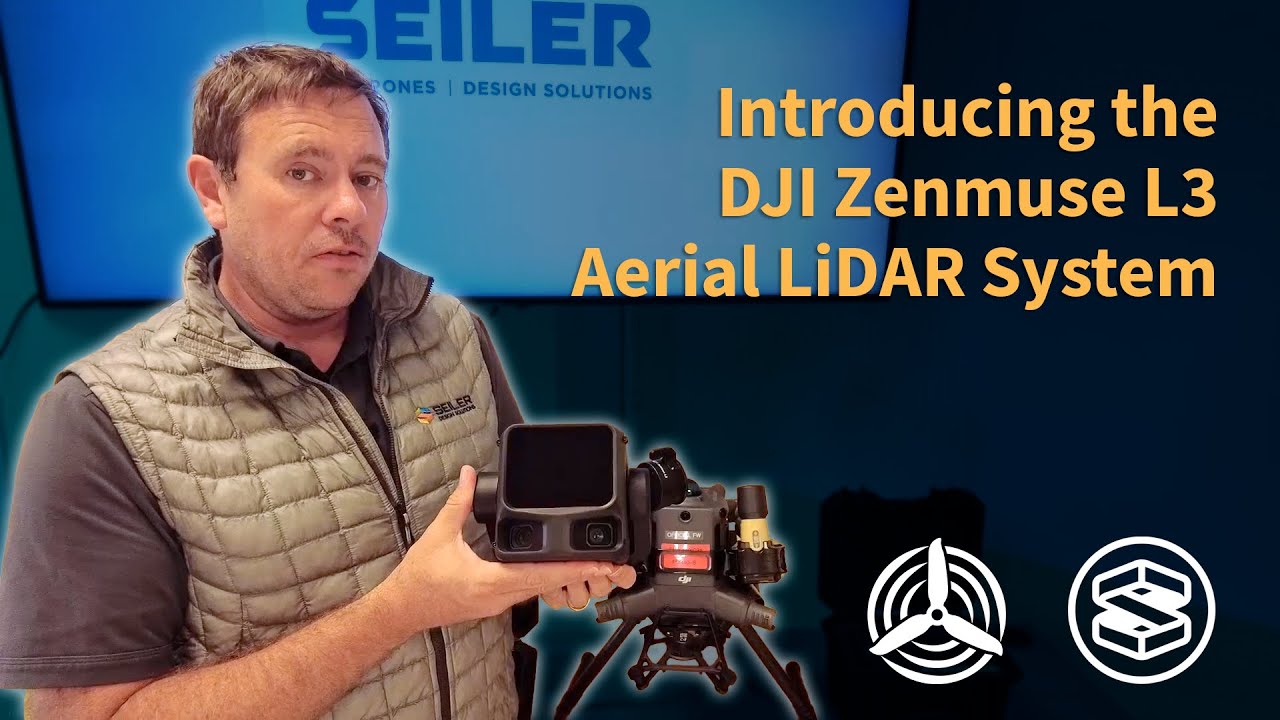
Flying in the Blue: Navigating Challenges of Air & Ground based Reality Capture in the Northeast USA
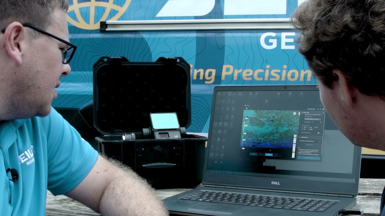
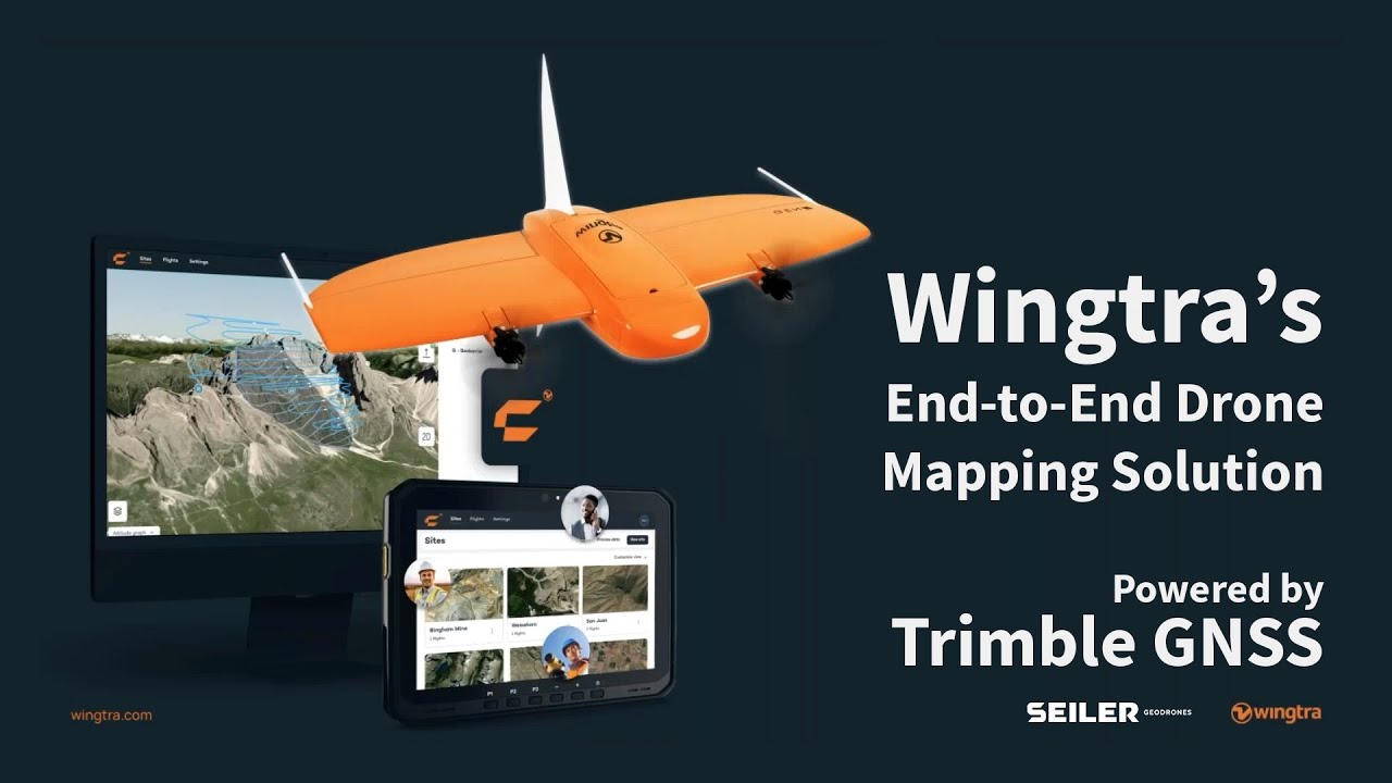
Join Tom Searing of Seiler GeoDrones and Harry Schultz of Waypoint Technology Group as they guide you through the essentials of drone surveying and geospatial data collection. This comprehensive presentation covers high-level photogrammetry and LiDAR fundamentals, the latest in drone hardware and software, and practical workflows for both aerial and terrestrial scanning. Learn about accuracy considerations, ground control, budgeting, deliverables, and real-world project examples—including a detailed comparison of photogrammetry vs. LiDAR in challenging environments.
Whether you’re new to drones or looking to upgrade your surveying toolkit, this video delivers actionable insights on:
- Choosing between fixed-wing and multirotor drones
- Integrating sensors and leveraging cloud-based processing
- Navigating FAA regulations (Part 107 & 108)
- Best practices for mission planning, data processing, and deliverables
- Real-world case studies