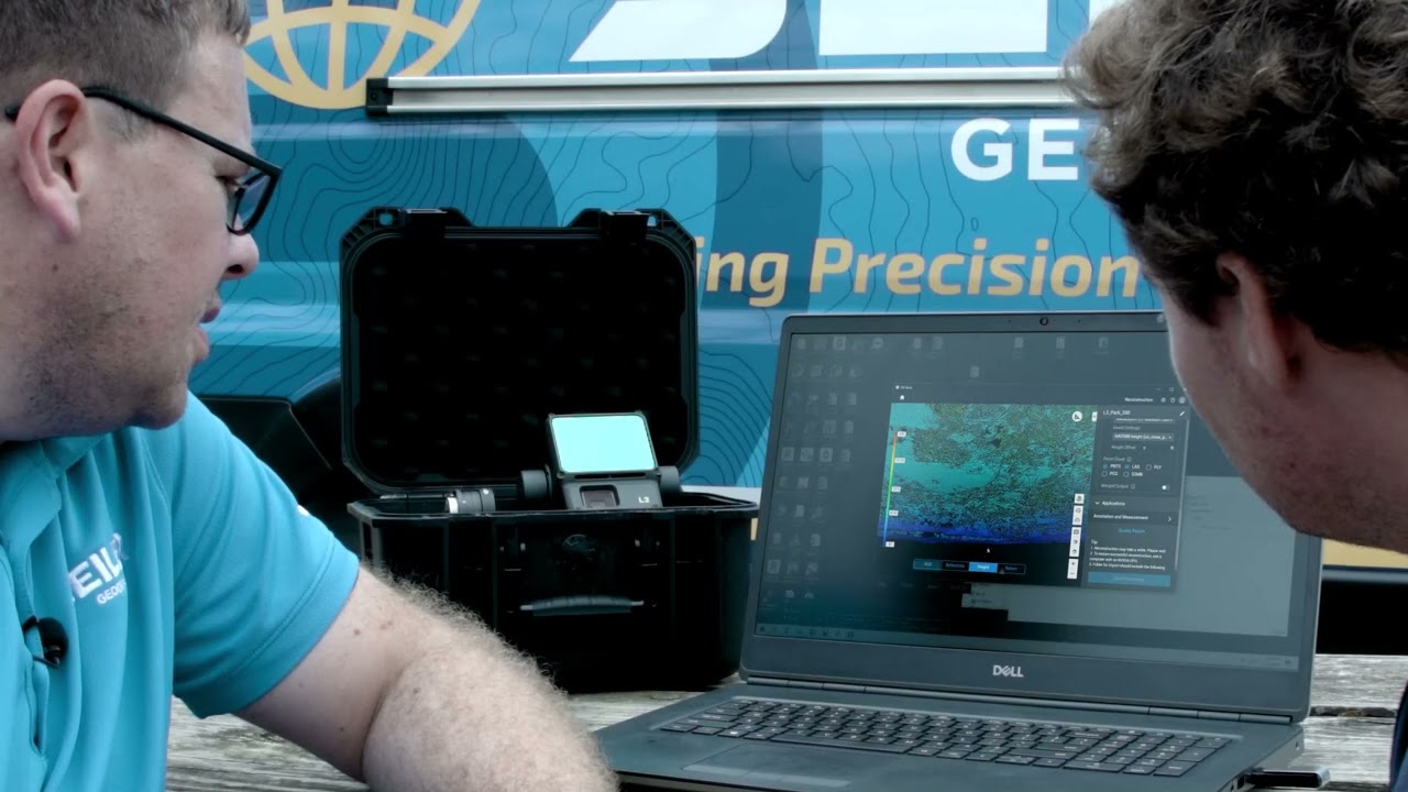
Introducing the DJI Zenmuse L3 Aerial LiDAR System
Travis LeMoine of Seiler GeoDrones and Design Solutions explores the capabilities and features of the DJI Zenmuse L3, a cutting-edge LiDAR system. Travis discuss its technical specifications, improvements over previous models, and practical applications in aerial surveying and data analysis. He includes a detailed comparison with the Zenmuse L2, mission setup for data capture, and insights into data analysis using various software tools. Travis highlights the innovative scanning techniques and the potential for enhanced feature extraction in various surveying applications.