Your cart is currently empty!
American Built, Affordable Price. Check out the all new TrueView1 LITE
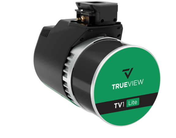
TrueView1 Lite Payload
$20,890.00
The TrueView 1 LITE is a cost-effective and lightweight drone LiDAR system featuring a Hesai XT32M2X scanner and a 20 MP camera. Designed for entry-level mapping and survey applications, it delivers reliable point cloud data and high-resolution imagery for forestry, construction, and land development projects.
Description
The TrueView 1 LITE is an efficient and affordable LiDAR and imaging system for UAV-based aerial mapping. Equipped with the Hesai XT32M2X LiDAR scanner, it captures accurate and detailed point clouds while maintaining a compact and lightweight design for easy drone deployment. The integrated 20 MP camera enhances photogrammetry applications, providing crisp RGB imagery for colorized point clouds. Ideal for professionals seeking a balance between cost and performance, the TrueView 1 LITE is well-suited for projects requiring precision mapping, terrain modeling, and infrastructure assessments.
Key Features:
- Cost-Effective LiDAR Solution – Provides accurate point clouds at an affordable price.
- Hesai XT32M2X Scanner – Captures detailed and reliable LiDAR data for various mapping applications.
- Integrated 20 MP Camera – Delivers high-resolution RGB imagery for enhanced photogrammetry and colorized point clouds.
- Lightweight & UAV-Optimized – Designed for seamless integration with multirotor drones.
- Advanced Data Processing – Fully compatible with LP360 software for automated classification, feature extraction, and analysis.
Related products

Ranger Pro +
$25,500.00")
Gremsy Zio (Ranger Pro)**
$4,995.00
Gremsy Vio G1 (Ranger Pro set up)**
$12,710.00
DJI Zenmuse L2
$14,430.00")
DJI Zenmuse H20
$3,459.00