Your cart is currently empty!
American Built, Affordable Price. Check out the all new TrueView1 LITE

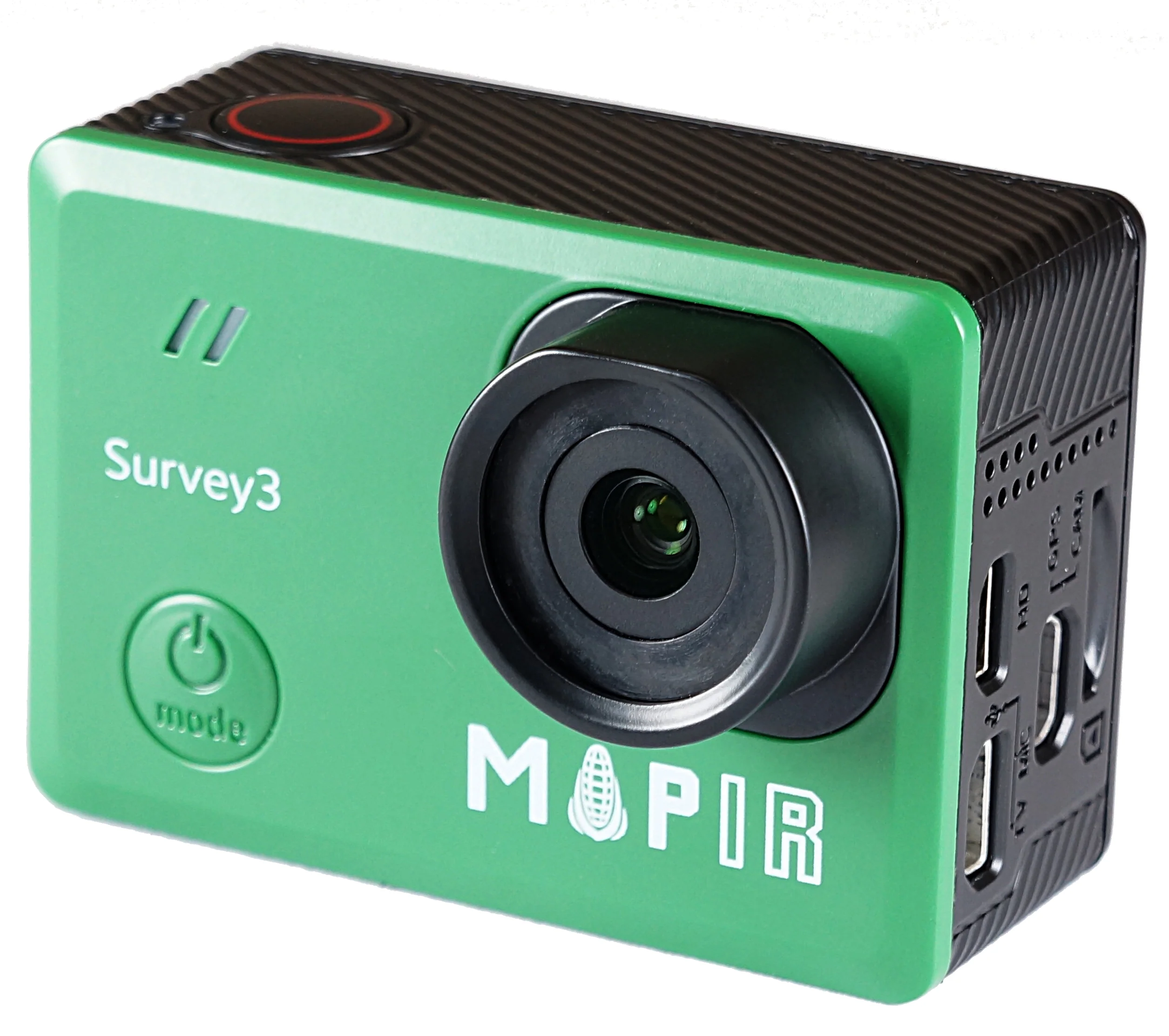
MapIR Survey3
$2,000.00
The MapIR Survey3, available through Seiler GeoDrones, is a high-resolution multispectral mapping camera designed for precision agriculture, environmental monitoring, and aerial surveying.
Description
The MapIR Survey3, offered by Seiler GeoDrones, is a compact and high-precision multispectral imaging camera optimized for aerial mapping, crop health analysis, and land surveying applications. Featuring high-resolution image capture with multiple wavelength options, the Survey3 enables detailed vegetation indexing, NDVI analysis, and environmental monitoring. Built for seamless UAV integration, this camera ensures efficient data collection, enhanced geospatial accuracy, and reliable performance in the field. Ideal for precision agriculture, forestry analysis, and research applications, the MapIR Survey3 delivers clear, actionable insights to support professional geospatial workflows.
Related products
")
55mm Lens for Sony ILX-LR1
$1,250.00
RESEPI XT32 w/ 24 MP Camera
$30,650.00
RESEPI VLP-32 w/ 24MP Camera
$42,500.00")
Gremsy Zio (Ranger Pro)**
$4,995.00
Gremsy Vio F1 (Ranger Pro)**
$15,000.00