Your cart is currently empty!
Teledyne
Ideal For:
•Surveyors and mapping professionals seeking high-accuracy topographic and bathymetric data.
•Government agencies involved in national mapping and coastal zone management.
•Infrastructure companies requiring detailed asset inspection and monitoring.
•Utilities companies needing precise vegetation management and network analysis.
•Organizations involved in environmental monitoring and research.
Showing all 13 resultsSorted by price: high to low
-

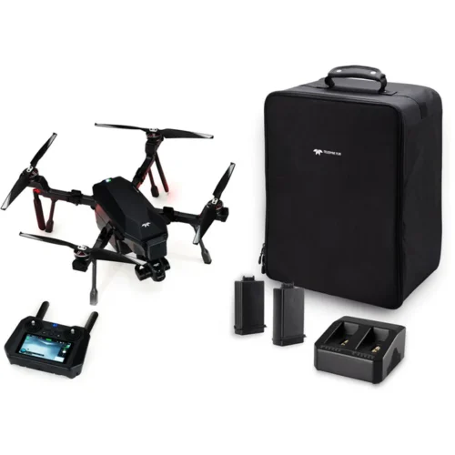
SIRAS TV128+ (no-R) Bundle w/ 2 Pair Batteries
$11,100.00 Add to cart -
SIRAS TV128+ (no-R) Bundle w/ 1 Pair Batteries
$10,664.00 Add to cart -
SIRAS TV128 Bundle w/ 2 Pair Batteries
$10,194.00 Add to cart -

SIRAS TV128 Bundle w/ 1 Pair Batteries
$9,760.00 Add to cart -

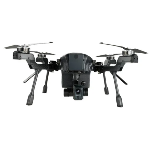
VUE TV128+ (no-R) Payload
$7,428.57 Add to cart -
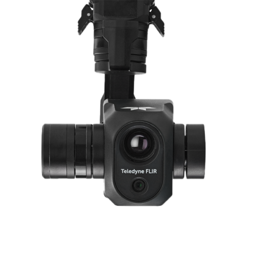
VUE TV128 Payload
$5,000.00 Add to cart -
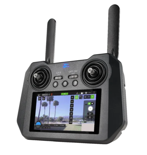
Replacement Remote Controller
$1,428.57 Add to cart -
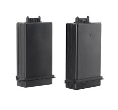
Battery Pack, 1 Pair, V2
$714.29 Add to cart -
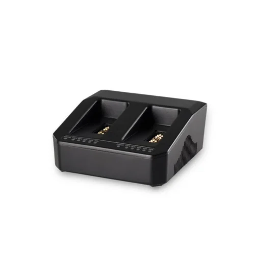
Additional 2-Cell Battery Charger
$457.14 Add to cart -
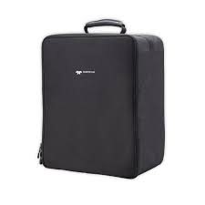
Soft Case with Foam
$442.86 Add to cart -
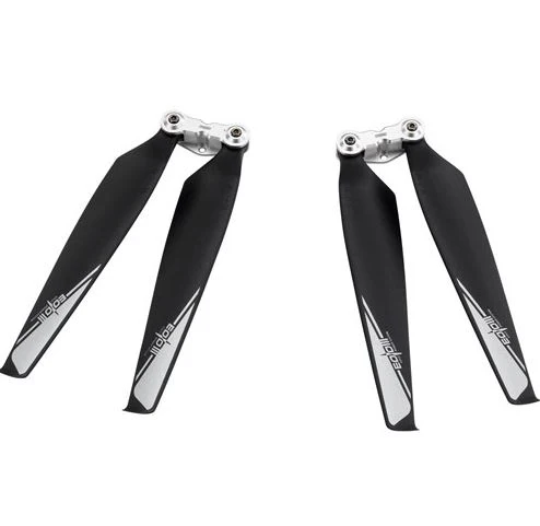
Replacement Foldable Propellers, CCW
$128.57 Add to cart -

Replacement Foldable Propellers, CW
$128.57 Add to cart -

Replacement Top Cover
$71.43 Add to cart