Your cart is currently empty!
DJI
Ideal For:
•Surveyors seeking high-accuracy topographic data.
•Engineers requiring detailed as-built models and terrain information.
•Construction professionals needing site monitoring and volume calculations.
•GIS professionals looking to integrate rich 3D point cloud data.
•Anyone needing precise and efficient geospatial data collection and analysis.
Showing 1–16 of 47 resultsSorted by price: high to low
-
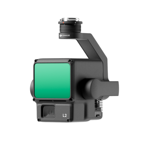
DJI Zenmuse L2
$14,430.00 Contact Us for a Quote -
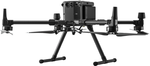
DJI Matrice 300 RTK
$12,179.00 Contact Us for a Quote -
DJI Zenmuse H20T
$11,339.00 Contact Us for a Quote -
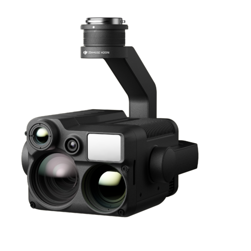
DJI Zenmuse H20N
$10,769.00 Contact Us for a Quote -
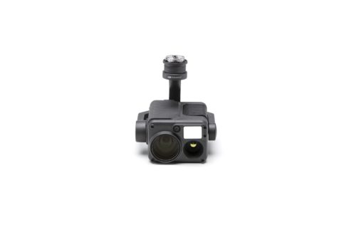
DJI Matrice 30T (Thermal)
$10,399.00 Contact Us for a Quote -
DJI Zenmuse P1 Camera
$7,230.00 Contact Us for a Quote -
DJI Matrice 30
$6,975.00 Contact Us for a Quote -
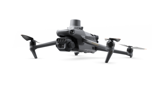
DJI Mavic 3 Thermal
$5,899.00 Contact Us for a Quote -
DJI Mavic 3 Multispectral
$4,959.00 Contact Us for a Quote -
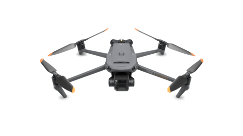
DJI Mavic 3 Enterprise
$3,899.00 Contact Us for a Quote -
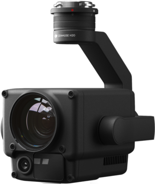
DJI Zenmuse H20
$3,459.00 Contact Us for a Quote -
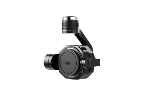
DJI Zenmuse X7 Camera
$2,899.00 Contact Us for a Quote -
DJI Wingsland Z15 Spotlight
$2,500.00 Contact Us for a Quote -
DJI RC Plus
$1,869.00 Contact Us for a Quote -
DJI TB60 Battery Station
$1,400.00 Contact Us for a Quote -
DJI DL 24mm F2.8 LS ASPH Lens
$1,299.00 Contact Us for a Quote