Your cart is currently empty!
American Built, Affordable Price. Check out the all new TrueView1 LITE
Our Brands
As a reseller, Seiler GeoDrones offers a comprehensive suite of drone solutions, focusing on providing end-to-end support for various professional applications.
Here’s a summary of what Seiler GeoDrones brings to the market:
- Wide Range of Drone Platforms: We partner with leading drone manufacturers, offering a diverse selection of multirotor and VTOL fixed-wing drones tailored for specific industry needs.
- Specialized Payloads and Sensors: We provide access to a variety of high-quality payloads, including RGB cameras, multispectral sensors, thermal cameras, and LiDAR systems. This enables solutions for surveying, mapping, agriculture, inspection, and public safety.
- Focus on Geospatial Applications: Leveraging Seiler’s long history in the geospatial industry, we emphasize solutions for surveying, mapping, and GIS. We understand the accuracy and data requirements of these fields and offer drones and payloads optimized for these tasks, including RTK/PPK capabilities.
- NDAA Compliant Options: Recognizing the importance of data security for government and certain commercial clients, we offer a selection of NDAA-compliant drone platforms.
- Integrated Solutions: We provide more than just hardware, offering complete solutions that often include software for flight planning and data processing.
- Expertise and Support: With experienced staff, including FAA-certified drone pilots, we offer knowledgeable pre-sales consultation to help clients select the right tools. We also provide technical support, service, and repair through Seiler’s established infrastructure.
- Industry-Specific Solutions: We tailor our offerings to serve various industries, including surveying and engineering, building and construction, mapping and GIS, government and utilities, agriculture, inspection, mining, and public safety.
Anzu
Anzu Robotics offers a powerful and versatile line of commercial drones designed for a wide range of applications, from industrial inspections and mapping to public safety and search & rescue.
Anzu drones offer a powerful combination of performance, reliability, and security, making them an excellent choice for professionals seeking advanced aerial solutions. Contact us today to learn more about integrating Anzu drones into your operations.
Secure US-Based Software: Operated by American-developed software from Aloft Technologies, Anzu drones prioritize data security with US-based server storage and AES-256 encryption, ensuring compliance with regulations and protecting sensitive information.
CZI
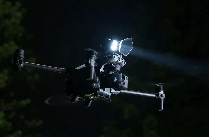
CZI (Chengzhi Intelligent Machinery Technology Co. Ltd.) specializes in designing and manufacturing innovative payload systems and accessories for commercial drones, particularly those from DJI’s enterprise series. Their products are engineered to significantly expand the functionality of drones for various demanding applications, focusing on delivering robust performance and seamless integration.
By integrating CZI payloads with your drone fleet, you can unlock new levels of operational efficiency and effectiveness for a wide variety of professional applications. Explore our selection of CZI products to find the perfect solution for your specific needs.
DJI
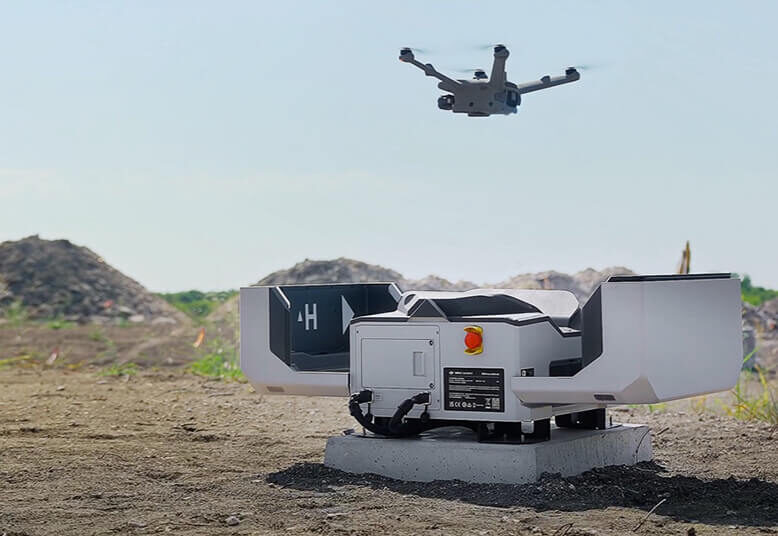
DJI Enterprise offers a comprehensive suite of advanced drone platforms and payload systems engineered for a wide range of commercial and industrial applications. Built upon years of relentless research and development, DJI has consistently pushed the boundaries of drone technology, establishing itself as a global leader in the aerial robotics space. Renowned for their reliability, performance, and industry-leading, cutting-edge technology, DJI Enterprise drones empower businesses and organizations to enhance efficiency, improve safety, and gain valuable aerial insights.
DJI Enterprise drones are trusted by professionals worldwide for their advanced capabilities, underpinned by a legacy of technological breakthroughs and a relentless pursuit of innovation. Explore our selection to find the ideal drone solution, born from considerable R&D efforts and engineered with cutting-edge technology, to elevate your business operations and achieve your specific goals.
GeoCue
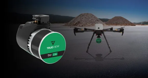
GeoCue stands at the forefront of LiDAR and photogrammetry technology, providing a comprehensive ecosystem of hardware and software meticulously engineered to optimize your geospatial workflows. From their innovative TrueView 3D Imaging Sensors for drone-based data capture to the versatile LP360 point cloud processing software and the portable TrueView GO handheld system, GeoCue equips professionals with the tools they need for unparalleled accuracy and efficiency in surveying, civil engineering, construction, and numerous other industries.
GeoCue’s strength lies in its integrated approach: their hardware and software solutions are designed to work seamlessly together, streamlining every stage of your project – from initial data acquisition to advanced analysis and actionable deliverables. This tight integration translates to reduced processing time, enhanced data quality, and ultimately, a more cost-effective and insightful geospatial experience.
GeoCue offers a solution tailored to your specific needs. Their commitment to innovation and user-centric design ensures that you have access to the most advanced and intuitive tools available in the geospatial market.
Inspired Flight
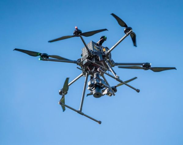
Inspired Flight Technologies delivers high-performance, NDAA-compliant drone platforms meticulously engineered and proudly manufactured in the USA for the most demanding commercial, government, and defense operations. These rugged and reliable aircraft are built to excel in critical missions, offering professionals a secure and exceptionally adaptable aerial solution, particularly well-suited for integrating a wide variety of LiDAR systems. At the core of Inspired Flight’s design is an understanding of the critical role of precise data acquisition, making their platforms an ideal foundation for advanced LiDAR applications.
Choose Inspired Flight for drone technology that doesn’t compromise on performance, reliability, or security, and provides an exceptional foundation for integrating your preferred LiDAR solution. Explore our selection of Inspired Flight platforms to discover how these exceptional American-made drones can empower your critical missions and elevate your geospatial data acquisition capabilities. Contact our team today to discuss your specific LiDAR integration requirements and identify the Inspired Flight solution that perfectly aligns with your objectives.
MicaSense
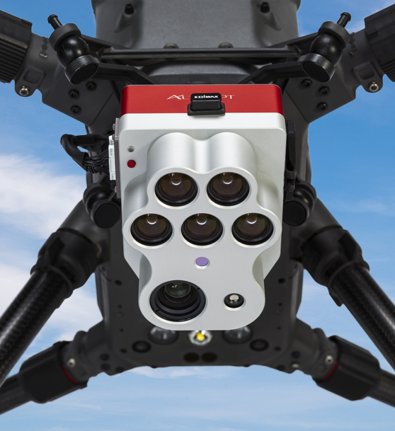
MicaSense , by AgEagle, designs and manufactures high-precision multispectral and thermal imaging solutions for drones, empowering professionals in agriculture, environmental monitoring, and research to gain critical insights from aerial data. Their rugged and reliable sensors capture data across multiple spectral bands, providing valuable information on plant health, water stress, and other environmental factors.
Explore our selection of MicaSense multispectral and thermal sensors to enhance your drone-based data collection and analysis capabilities for precision agriculture and environmental monitoring. Contact us to determine the best MicaSense solution for your specific application.
Pix4D
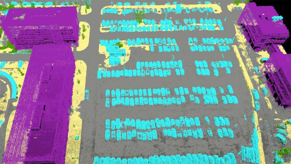
Pix4D is a leading developer of powerful photogrammetry software solutions – the science of obtaining reliable measurements and creating 2D or 3D representations from photographic images. Pix4D transforms images from drones, handheld cameras, or aircraft into accurate and georeferenced 2D maps, 3D models, and point clouds. Trusted by professionals across various industries, Pix4D offers a suite of tools designed for precision, efficiency, and insightful data extraction.
Explore our selection of Pix4D software to find the perfect solution for your drone mapping, surveying, and analysis needs. Contact us today to learn how Pix4D can empower your workflows and deliver exceptional results.
Propeller
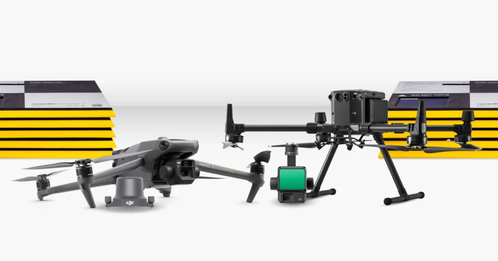
Propeller offers an end-to-end drone surveying and analytics platform designed to simplify worksite intelligence for industries like construction, mining, and aggregates. Their integrated solution combines user-friendly cloud-based software with optional hardware like AeroPoints™ smart ground control points to deliver accurate, actionable insights.
Propeller’s intuitive platform and optional AeroPoints offer a powerful combination for streamlining drone surveying workflows, improving data accuracy, and gaining valuable insights into your worksites. Contact us to learn more about how Propeller can transform your operations.
Teledyne
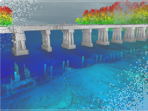
Teledyne offers innovative solutions for high-accuracy data capture, including the compact and NDAA-compliant EchoONE LiDAR sensor and the versatile SIRAS professional drone. These products provide a powerful combination for efficient and reliable geospatial data acquisition.
Explore our selection of Teledyne Geospatial’s EchoONE LiDAR sensor and SIRAS drone to discover how these compact and versatile solutions can enhance your data capture capabilities. Contact us to find the best combination for your specific project needs.
Wingtra
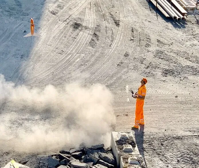
Wingtra designs and manufactures high-accuracy Vertical Take-Off and Landing (VTOL) fixed-wing drones optimized for professional surveying, mapping, and GIS applications. Their flagship WingtraOne GEN II and WingtraOne PPK drones combine the vertical convenience of multirotors with the efficiency and wide coverage of fixed-wing aircraft, delivering exceptional data quality and operational versatility.
Wingtra’s innovative VTOL technology, combined with high-precision PPK and versatile payload options, makes them a leading solution for professionals demanding accuracy, efficiency, and flexibility in their aerial surveying and mapping projects. Explore our selection of Wingtra drones to discover how they can transform your data acquisition workflows. Contact us today to discuss your specific requirements and find the Wingtra solution that best fits your needs
WISPR Systems
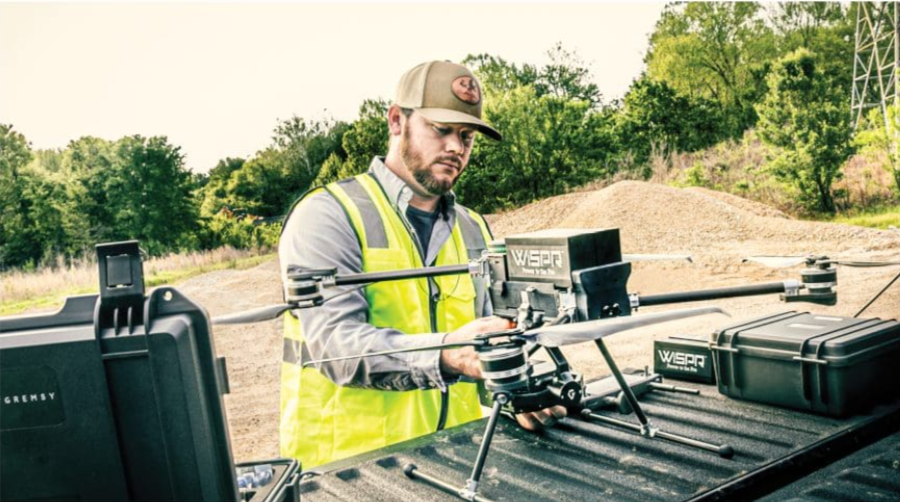
WISPR Systems designs and manufactures robust, American-made drone platforms engineered for a variety of demanding professional uses, including surveying and mapping. Their drones are built with durable carbon fiber frames and offer the flexibility to carry diverse payloads, making them a versatile tool for data acquisition in challenging environments.
WISPR Systems drones offer a reliable and adaptable American-made solution for professionals seeking to enhance their surveying and mapping capabilities with cutting-edge aerial technology. Contact us to explore the specific WISPR model and payload configuration that best suits your project requirements.
