Your cart is currently empty!
American Built, Affordable Price. Check out the all new TrueView1 LITE
Agriculture
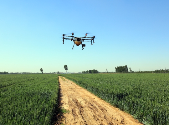
Drones have rapidly become indispensable tools in modern agriculture, ushering in a new era of precision farming. Their ability to efficiently and cost-effectively gather comprehensive crop data is revolutionizing agricultural practices. By enhancing yield, improving crop quality, promoting sustainable farming, and reducing operational costs, drones are significantly boosting profitability.
Expanding on Modern Applications in Agriculture:
- Precision Agriculture and Crop Monitoring:
- Drones equipped with multispectral and hyperspectral sensors provide detailed insights into plant health, water stress, nutrient deficiencies, and pest infestations.
- Normalized Difference Vegetation Index (NDVI) and other vegetation indices maps, generated from drone imagery, allow for real-time monitoring of crop health and development.
- Drones enable targeted interventions, such as precise fertilizer and pesticide applications, minimizing waste and environmental impact.
- Efficient Weed and Pest Control:
- Drones can map weed infestations and pest outbreaks, enabling targeted spraying and reducing the overall use of chemicals.
- Autonomous drones can be deployed for precise spraying applications, minimizing drift and maximizing efficiency.
- Irrigation Management:
- Thermal imaging cameras on drones can identify areas of water stress, allowing for optimized irrigation scheduling and water conservation.
- Drones can be used to monitor irrigation systems for leaks and other problems.
- Soil Analysis and Mapping:
- Drones can capture data on soil conditions, such as moisture content, nutrient levels, and pH, enabling precision soil management.
- Drones can be used to create detailed soil maps.
- Plant Scouting and Disease Detection:
- High-resolution cameras allow for detailed visual inspections of crops, enabling early detection of diseases and pests.
- Drones can monitor plant growth and development, enabling early detection of problems.
- Yield Estimation and Forecasting:
- Drone data can be used to estimate crop yields, providing valuable information for harvest planning and marketing.
- Drones can be used to monitor crop growth and development, which can be used for yield forecasting.
- Livestock Monitoring:
- Drones can monitor livestock location, health, and behavior.
- Drones can be used to monitor grazing patterns.
- Field Mapping and Analysis:
- Drones create high-resolution orthomosaic maps and 3D models of fields, providing valuable data for field planning and management.
- Drones can be used to create contour maps.
Related Products
-
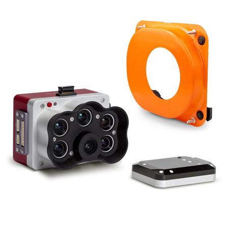 Wingtra MicaSense RedEdge Panchromatic Kit$10,900.00
 -
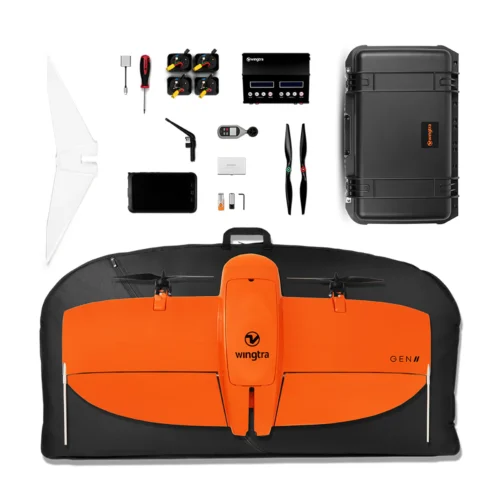 WingtraOne GEN II Base Package$19,900.00
 -
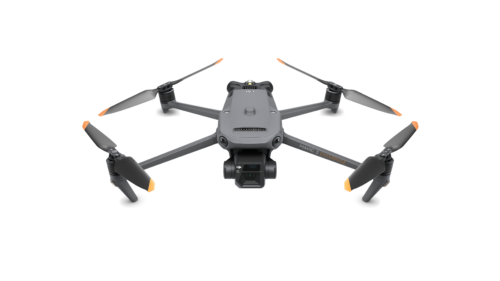
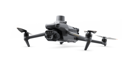 DJI Mavic 3 Multispectral$4,959.00
 -
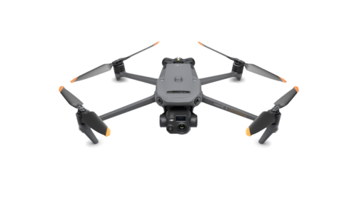
 DJI Mavic 3 Enterprise$3,899.00
 -
 DJI Mavic 3 Thermal$5,899.00