Your cart is currently empty!
American Built, Affordable Price. Check out the all new TrueView1 LITE
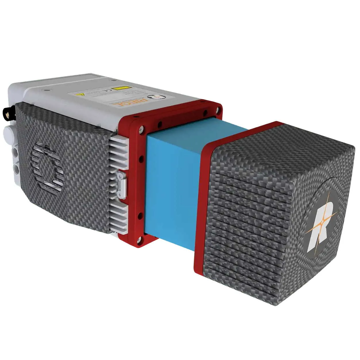
Lidar Kit – IF1200 – Riegl MiniVux3
$2,500.00
The LiDAR Kit – IF1200 + Riegl MiniVUX-3, available through Seiler GeoDrones, delivers high-precision aerial LiDAR mapping and surveying, combining advanced laser scanning technology with the reliability of the IF1200 UAS.
Description
The LiDAR Kit – IF1200 + Riegl MiniVUX-3, offered by Seiler GeoDrones, is a high-performance aerial LiDAR solution designed for precision mapping, infrastructure assessment, and geospatial data collection. The IF1200 UAS provides exceptional flight stability and efficiency, while the Riegl MiniVUX-3 LiDAR sensor delivers high-resolution 3D point clouds with superior range and accuracy. Ideal for topographic surveys, forestry analysis, and industrial inspections, this system ensures seamless workflow integration, enhanced data accuracy, and efficient aerial surveying for mission-critical applications.
Related products

Sentera 6X – IF1200 Payload
$15,000.00
Gremsy VIO – IF1200 Payload
$15,000.00
Lidar Kit – IF800 – Rock Robotic – R3 Pro
$2,500.00
Lidar Kit – IF800 – Riegl MiniVux3
$2,500.00
Sony ILX-LR1- IF1200 Payload
$8,500.00